Export Processing Zone · Benin

Seme-Podji Export Processing Zone
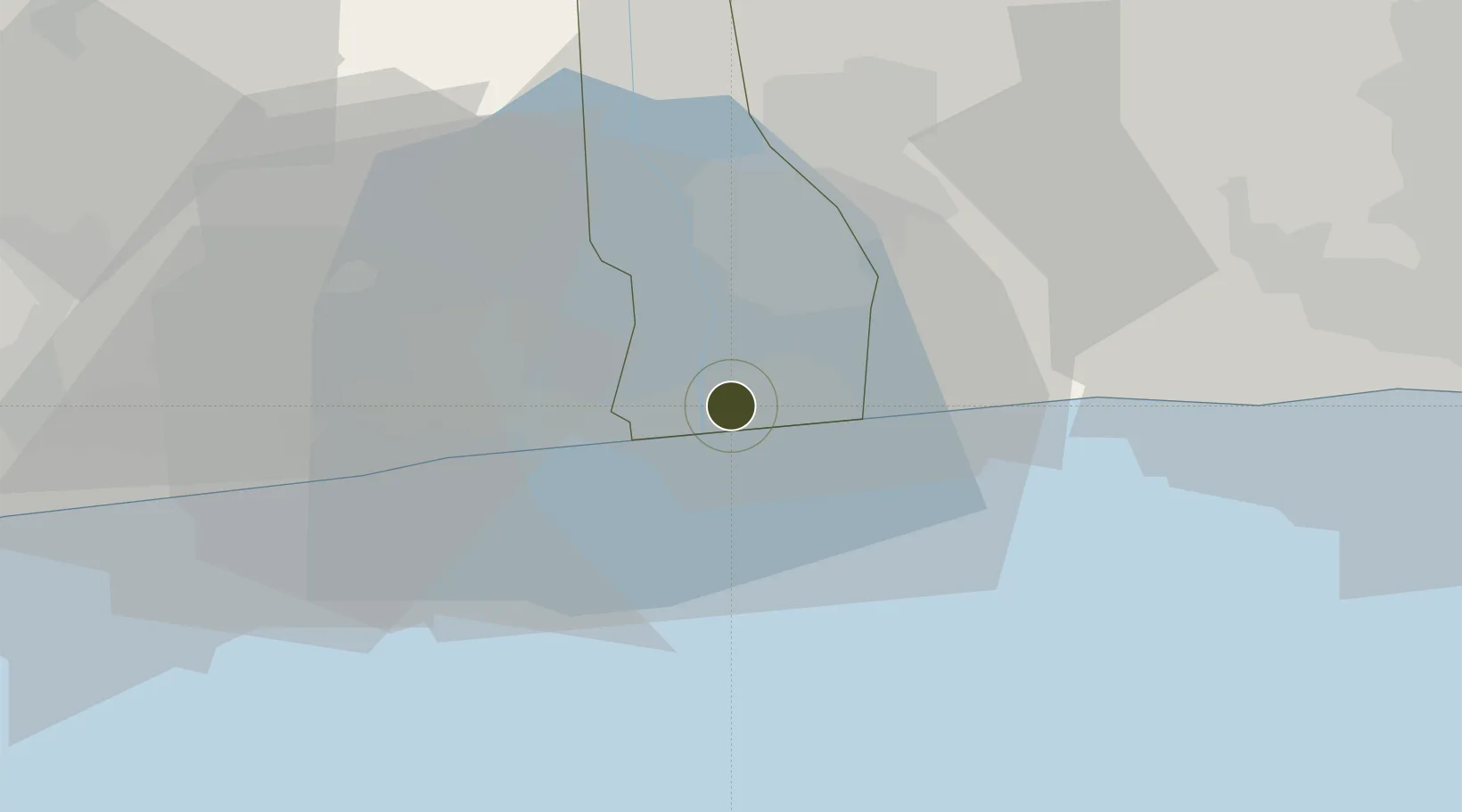
6.3805°, 2.5787°
230 ha
Zone area
16.4 km
Nearest port
21.6 km
Nearest airport

Gateway access

Nearest neighbours — logibook spatial index (haversine) over the source coordinates

Zone profile

Zone type
Export Processing Zone
the World Bank SEZ database
Region
Ouémé
the World Bank SEZ database
Established
2010
the World Bank SEZ database
Management
Public agency
the World Bank SEZ database
Operator
Government of Benin
the World Bank SEZ database
Regulatory authority
Investment Control Commission at the Ministry of Commerce
the World Bank SEZ database
Legal framework
Invesment Code
the World Bank SEZ database

Location

Location of BEN1
Natural Earth 10m (public domain) · Ouémé · BEN1 · 6.38, 2.58GoogleOSMYandex

Fiscal & incentives

Corporate tax
30%
the World Bank SEZ database
Tax relief
100% exempt
the World Bank SEZ database
Relief duration
10 to 12 years
the World Bank SEZ database
VAT
100% exempt from VAT on inputs
the World Bank SEZ database
Import duty (inputs)
100% exempt
the World Bank SEZ database
Import duty (capex)
100% exempt
the World Bank SEZ database
Profit repatriation
No exemption
the World Bank SEZ database
Capital gains
No exemption
the World Bank SEZ database
Withholding tax
No exemption
the World Bank SEZ database
Min. investment
None
the World Bank SEZ database
Min. export
65% export outside WAEMU or ECOWAS
the World Bank SEZ database
Employment incentive
Rebate on payroll tax
the World Bank SEZ database
Developer incentive
No established framework
the World Bank SEZ database

Nearby Logistics Neighbours

Ports
  1. 1Cotonou16 km
  2. 2Tin Can Island85 km
  3. 3Lagos91 km
  4. 4Kpeme119 km
  5. 5Lome146 km
Nearest neighbours — logibook spatial index (haversine) over the source coordinates
Airports
  1. 1Cotonou Cadjehoun International Airport22 km
  2. 2Murtala Muhammed International Airport85 km
  3. 3Lomé–Tokoin International Airport148 km
  4. 4Ibadan Airport189 km
  5. 5Ho Airport227 km
Nearest neighbours — logibook spatial index (haversine) over the source coordinates
Cities
  1. 1Porto-Novo12 km
  2. 2Akoko18 km
  3. 3Cotonou29 km
  4. 4Ado Odo46 km
  5. 5Igando77 km
Nearest neighbours — logibook spatial index (haversine) over the source coordinates
Trade Zones
  1. 1Free Processing Zone of Benin6 km
  2. 2Sèmè-Podji Free Industrial Zone6 km
  3. 3Badagry Free Zone (Maritime Economic City)36 km
  4. 4Badagry Creek Integrated Industrial Park40 km
  5. 5Glo-Djigbé Special Economic Zone43 km
Nearest neighbours — logibook spatial index (haversine) over the source coordinates
DatabookThe Record of Consolidated Knowledge
Benin beyond logistics?
Browse databook

All Sources

Trade Zonesthe World Bank SEZ database
CC BY 4.0
Portsthe NGA World Port Index
Public domain (US gov)
AirportsOurAirports
Public domain
LocationsUN/LOCODE
UN/LOCODE — free
← Benin trade zones