Transport Functions
Port
Rail
Road
Hub Profile
Place type
National capital
Region
Ouémé
Population
264,320
Time zone
Africa/Porto-Novo
Elevation
20 m
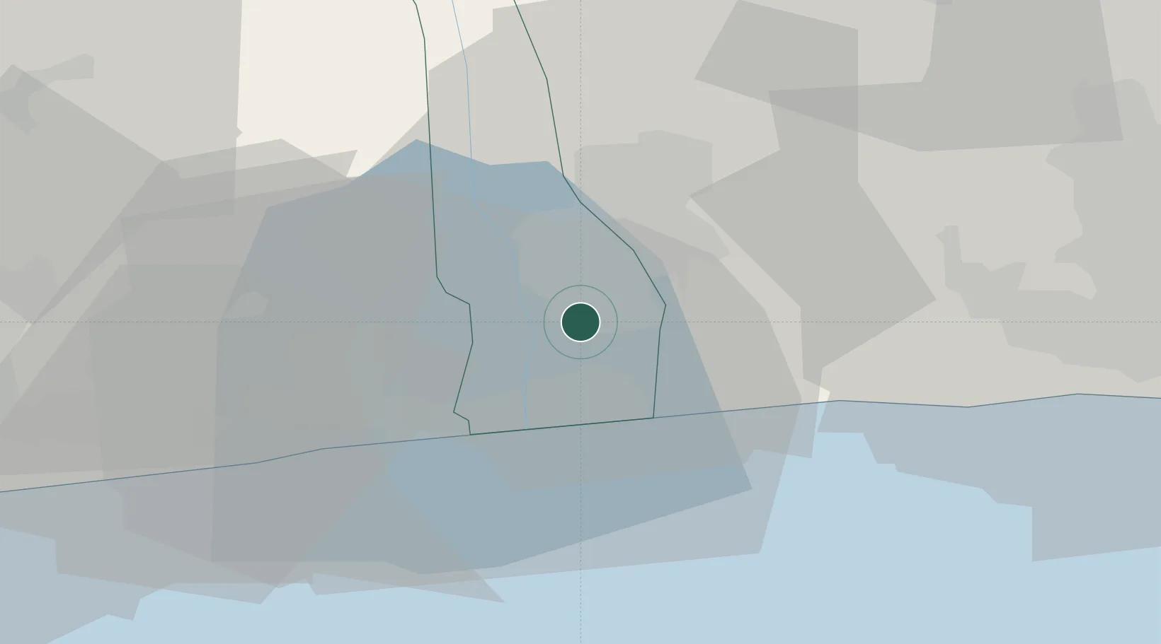
Location
Nearby Logistics Neighbours
Ports
- 1Cotonou25 km
- 2Tin Can Island82 km
- 3Lagos87 km
- 4Kpeme126 km
- 5Lome152 km
Airports
DatabookThe Record of Consolidated Knowledge
Benin beyond logistics?