Export Processing Zone · Nigeria

Banki Border Free Zone Inactive
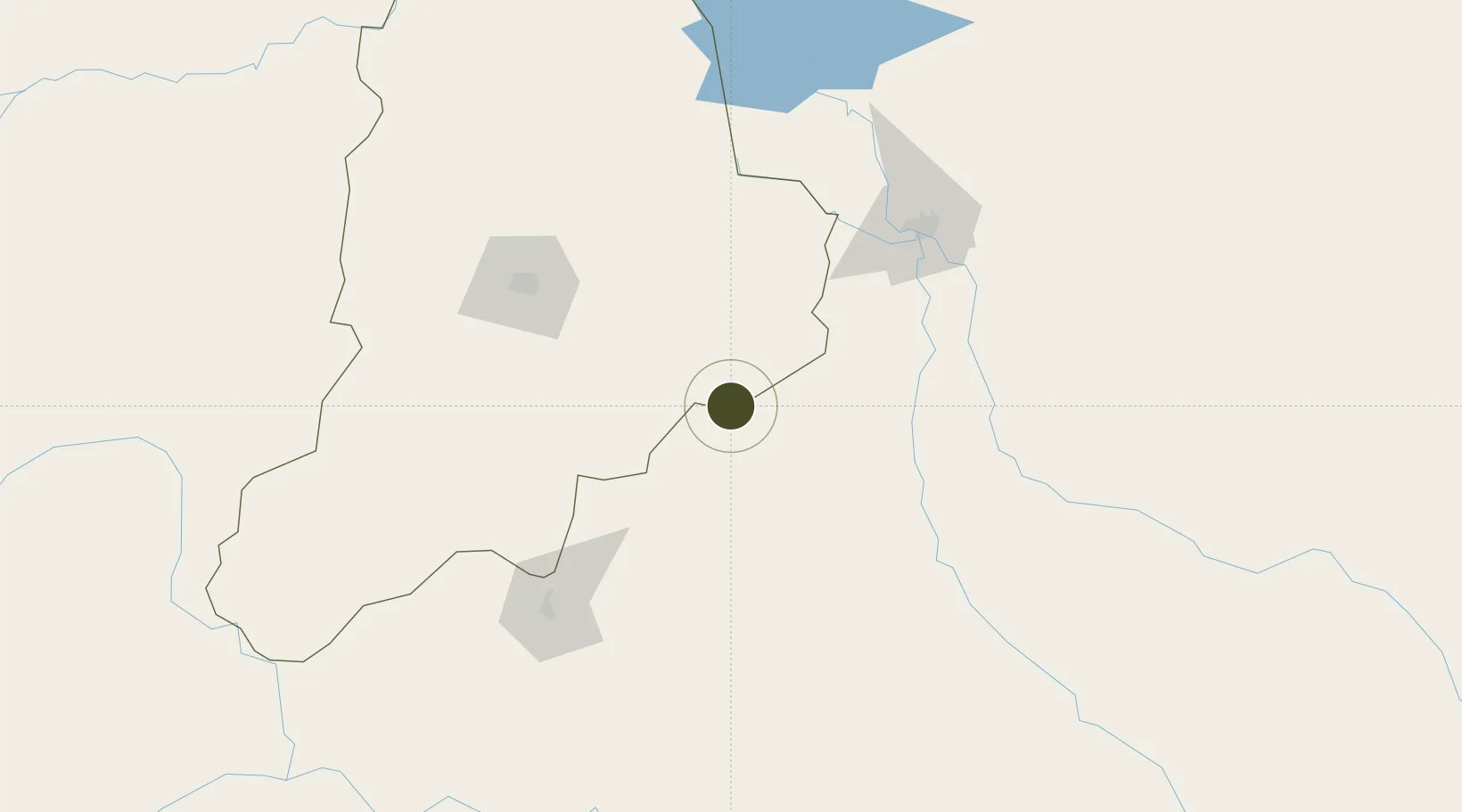
11.2612°, 14.1546°
500 ha
Zone area
941.0 km
Nearest port
90.7 km
Nearest airport

Gateway access

Nearest neighbours — logibook spatial index (haversine) over the source coordinates

Zone profile

Zone type
Export Processing Zone
Open Zone Map
Region
Borno
Open Zone Map
Status
Inactive
Open Zone Map
Management
Public
Open Zone Map
Operator
Nigerian Export Processing Zones Authority
Open Zone Map
Legal framework
Section 10 (4) of the Nigeria Export Processing Zones Act No 63 of 1992
Open Zone Map

Location

Location of ozm-2964
Natural Earth 10m (public domain) · Borno · ozm-2964 · 11.26, 14.15GoogleOSMYandex

Nearby Logistics Neighbours

Ports
  1. 1Douala941 km
  2. 2Calabar950 km
  3. 3Limboh Terminal979 km
  4. 4Kole Oil Terminal994 km
  5. 5Moudi Marine Terminal1011 km
Nearest neighbours — logibook spatial index (haversine) over the source coordinates
Airports
  1. 1Salak Airport91 km
  2. 2Maiduguri International Airport134 km
  3. 3N'Djamena International Airport136 km
  4. 4Garoua International Airport231 km
  5. 5Yola Airport292 km
Nearest neighbours — logibook spatial index (haversine) over the source coordinates
Cities
  1. 1Chagoua136 km
  2. 2Garoua233 km
  3. 3Gombe344 km
  4. 4Borno347 km
  5. 5Komé419 km
Nearest neighbours — logibook spatial index (haversine) over the source coordinates
Trade Zones
  1. 1Djermaya Special Economic Zone164 km
  2. 2Djamboutou Garoua Industrial Zone233 km
  3. 3Sebore Farms Export Processing Zone327 km
  4. 4Ngaoundere Industrial Zone440 km
  5. 5Maigatari Border Free Trade Zone541 km
Nearest neighbours — logibook spatial index (haversine) over the source coordinates
DatabookThe Record of Consolidated Knowledge
Nigeria beyond logistics?
Browse databook

All Sources

Trade ZonesOpen Zone Map
CC BY
Portsthe NGA World Port Index
Public domain (US gov)
AirportsOurAirports
Public domain
LocationsUN/LOCODE
UN/LOCODE — free
← Nigeria trade zones