Seaport · Cameroon
DoualaCMDLA
4.0500°, 9.6833°
6.5 m
Channel depth
1
Container terminals
95.6
Port liner connectivity
Channel & Berth Profile
Pilotage, Tugs & Services
Pilotage compulsoryYES
Pilotage availableYES
Pilotage advisableYES
Tug assistanceYES
Shore powerYES
Potable waterYES
Diesel bunkersYES
MedicalYES
Garbage disposalYES
Facilities & Capabilities
Container—
Ro-Ro—
Liquid bulk—
Dry bulk—
Oil terminal—
Break bulk—
Dry dockNO
RepairsNO
BunkeringYES
Rail linkYES
Dangerous cargo—
ISPS security—
Harbour Specifications
Harbour size
Medium
Harbour type
River (Natural)
Shelter
Good
Water body
Gulf of Guinea; North Atlantic Ocean
Tidal range
2 m
Overhead limit
Yes
Pilotage
Yes
Liner Connectivity
95.6
PLSCI
Port Liner Shipping Connectivity Index for Douala, as published by UNCTAD for the latest available quarter. Higher values indicate stronger scheduled liner-shipping integration.
Shown relative to the highest per-port PLSCI in the dataset (1,657.9).
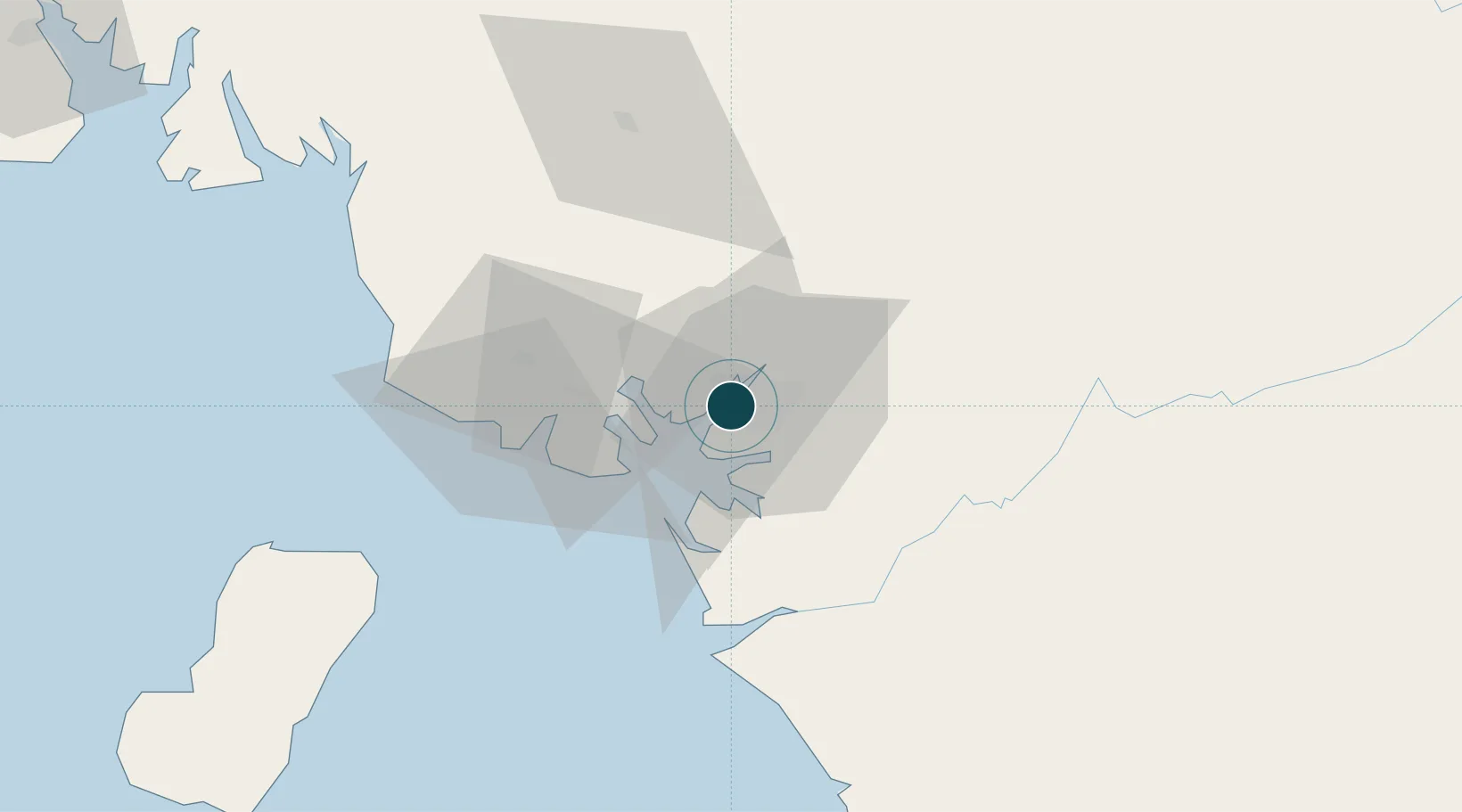
Location
Container Terminals · 1
RTC CONTAINER TERMINAL DOUALA
RTC REGIE DU TERMINAL A CONTENEURS (RTC)
Nearby Logistics Neighbours
Ports
- 1Limboh Terminal60 km
- 2Malabo105 km
- 3Punta Europa Terminal111 km
- 4Kome Kribi 1 Marine Terminal127 km
- 5Kole Oil Terminal128 km
Cities
- 1Limbe52 km
- 2Edéa58 km
- 3Kumba71 km
- 4Nkongsamba102 km
- 5Malabo106 km
Airports
- 1Douala International Airport6 km
- 2Tiko Airport36 km
- 3Malabo International Airport113 km
- 4Margaret Ekpo International Airport180 km
- 5Bafoussam Airport181 km
Trade Zones
- 1Bonaberi-Douala Industrial Zone2 km
- 2Bassa-Douala Industrial Zone8 km
- 3K5 Oil Centre109 km
- 4Port of Kribi Economic Zone126 km
- 5Luba Freeport140 km
DatabookThe Record of Consolidated Knowledge
Cameroon beyond logistics?