Transport Functions
Port
Road
Airport
Hub Profile
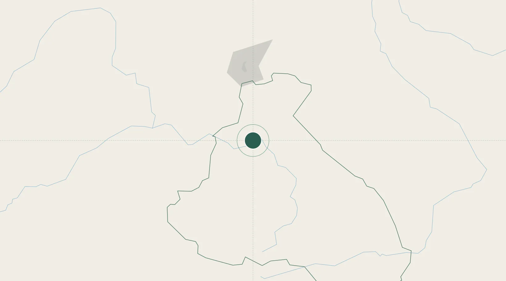
Place type
Regional capital
Region
North
Population
34,957
Time zone
Africa/Douala
Elevation
199 m
Location
Nearby Logistics Neighbours
Cities
- 1Borno130 km
- 2Ngaoundéré217 km
- 3Gombe268 km
- 4Chagoua360 km
- 5Komé375 km
Ports
- 1Douala714 km
- 2Calabar739 km
- 3Limboh Terminal755 km
- 4Kole Oil Terminal776 km
- 5Moudi Marine Terminal792 km
Airports
- 1Garoua International Airport5 km
- 2Yola Airport107 km
- 3Salak Airport159 km
- 4N'Gaoundéré Airport217 km
- 5Maiduguri International Airport286 km
Trade Zones
DatabookThe Record of Consolidated Knowledge
Cameroon beyond logistics?