Transport Functions
Multimodal
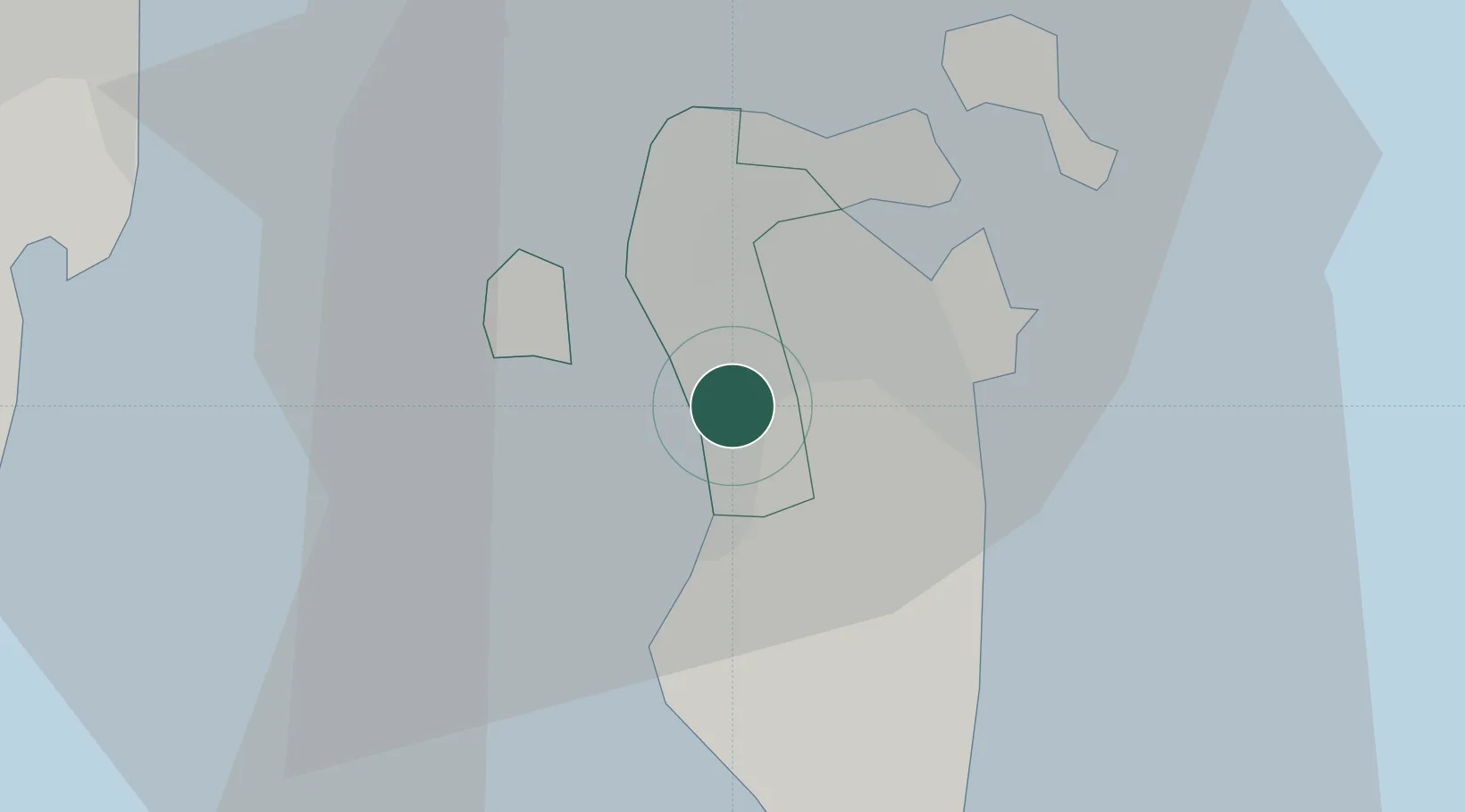
Location
Nearby Logistics Neighbours
Cities
- 1Madinat Hamad0 km
- 2Sanad9 km
- 3Jidd 'Ali9 km
- 4Tubli10 km
- 5Al Ma'amir11 km
Ports
- 1Al Manamah17 km
- 2Mina Salman17 km
- 3Sitrah18 km
- 4Khalifa Bin Salman30 km
- 5Dammam54 km
Airports
- 1Sheik Isa Air Base22 km
- 2Bahrain International Airport23 km
- 3King Abdulaziz Air Base39 km
- 4King Fahd International Airport81 km
- 5Ras Tanura Airport84 km
Trade Zones
DatabookThe Record of Consolidated Knowledge
Bahrain beyond logistics?