Seaport · Qatar
Umm SaidQAUMS
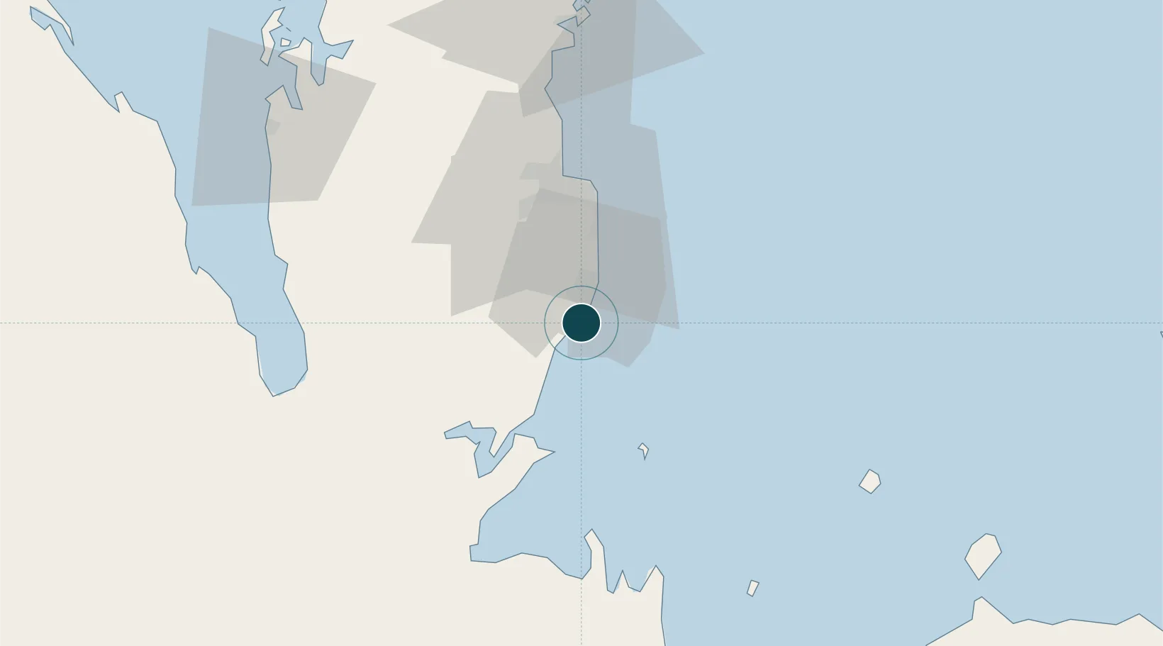
24.9167°, 51.5667°
12.5 m
Channel depth
3
Container terminals
23.8
Port liner connectivity
Channel & Berth Profile
Pilotage, Tugs & Services
Pilotage compulsoryYES
Pilotage availableYES
Pilotage advisableYES
Local assistanceYES
Tug assistanceYES
Salvage tugsYES
Shore powerNO
Potable waterYES
Diesel bunkersYES
MedicalYES
Garbage disposalNO
Facilities & Capabilities
Container—
Ro-Ro—
Liquid bulk—
Dry bulk—
Oil terminal—
Break bulk—
Dry dock—
RepairsNO
BunkeringYES
Rail linkYES
Dangerous cargo—
ISPS security—
Harbour Specifications
Harbour size
Small
Harbour type
Open Roadstead
Shelter
Fair
Water body
Persian Gulf; Indian Ocean
Tidal range
1.3 m
Pilotage
Yes
Liner Connectivity
23.8
PLSCI
Port Liner Shipping Connectivity Index for Umm Said, as published by UNCTAD for the latest available quarter. Higher values indicate stronger scheduled liner-shipping integration.
Shown relative to the highest per-port PLSCI in the dataset (1,657.9).
Location
Container Terminals · 3
MESAIEED CONTAINER TERMINAL
CT7 QATAR PETROLEUM
QAPCO TERMINAL MESAIEED
QAPCO QATAR PETROCHEMICAL COMPANY (QAPCO) QPJSC
QCHEM TERMINAL MESAIEED
QCHEM QATAR CHEMICAL COMPANY (QCHEM) LTD.
Nearby Logistics Neighbours
Ports
- 1Doha41 km
- 2Ras Laffan111 km
- 3Jazirat Halul121 km
- 4Jazirat Das134 km
- 5Jabal Az Zannah/ruways140 km
Cities
- 1Qapco0 km
- 2Qchem8 km
- 3BGN/PCGN1956 - HAMAD30 km
- 4Doha33 km
- 5Umm Qarn70 km
Airports
- 1Al Udeid Air Base34 km
- 2Doha International Airport38 km
- 3Hamad International Airport40 km
- 4Batha Airport79 km
- 5Delma Airport90 km
Trade Zones
DatabookThe Record of Consolidated Knowledge
Qatar beyond logistics?