Runway & Layout

Airport Specifications
ICAO code
OEBT
Airport class
Small airport
Scheduled service
Yes
Served city
Batha
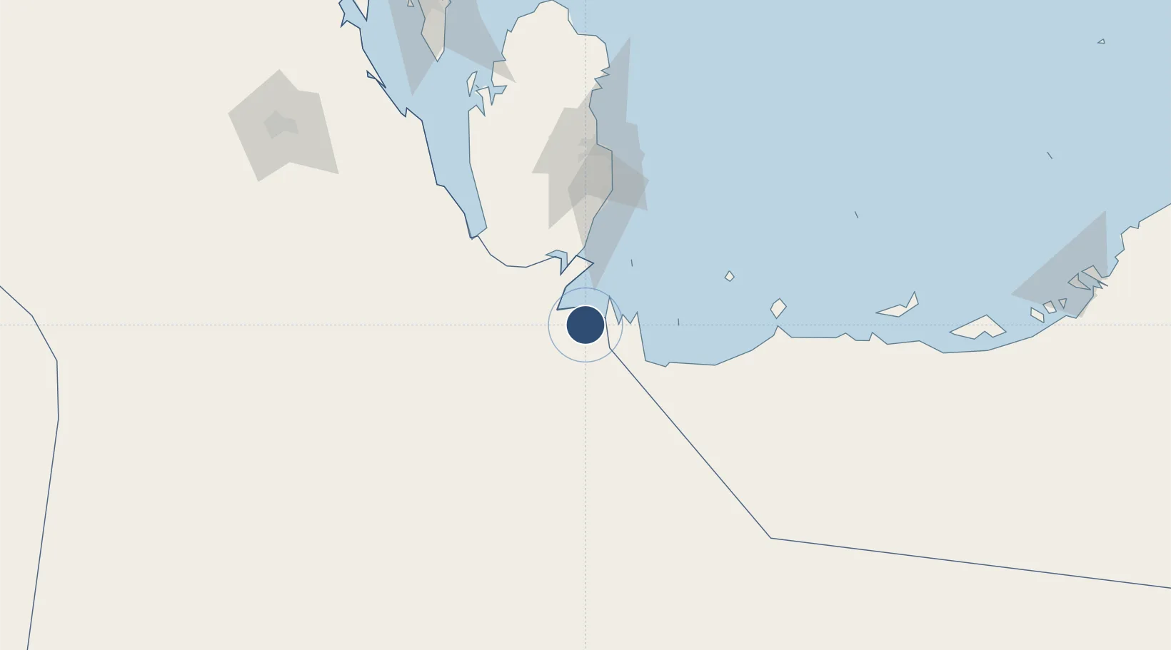
Location
Nearby Logistics Neighbours
Airports
- 1Delma Airport96 km
- 2Al Udeid Air Base101 km
- 3Sir Bani Yas Airport115 km
- 4Doha International Airport117 km
- 5Hamad International Airport119 km
Cities
- 1Qchem71 km
- 2Qapco79 km
- 3Umm Sa'id (Mesaieed)83 km
- 4As Salwa91 km
- 5BGN/PCGN1956 - HAMAD108 km
Ports
- 1Umm Said79 km
- 2Doha119 km
- 3Jabal Az Zannah/ruways127 km
- 4Jazirat Das177 km
- 5Zirkuh Oil Field177 km
Trade Zones
- 1Umm Alhoul - Port Free Zone101 km
- 2Ras Bufontas - Airport Free Zone114 km
- 3Qatar Media City119 km
- 4Qatar Science and Technology Park124 km
- 5Qatar Financial Centre124 km
DatabookThe Record of Consolidated Knowledge
Saudi Arabia beyond logistics?