UN/LOCODE hub · Qatar
QAQCH

Qchem

24.8500°, 51.5333°
1
Transport functions

Transport Functions

Port
UN/LOCODE

Hub Profile

Region
US
GeoNames

Location

Location of QAQCH
Natural Earth 10m (public domain) · US · QAQCH · 24.85, 51.53GoogleOSMYandex

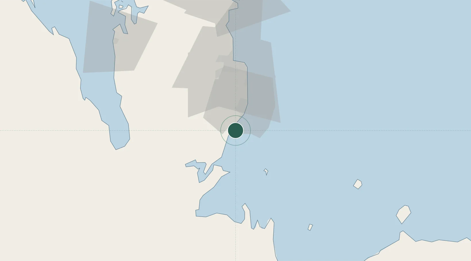
Nearby Logistics Neighbours

Cities
  1. 1Qapco8 km
  2. 2Umm Sa'id (Mesaieed)12 km
  3. 3BGN/PCGN1956 - HAMAD37 km
  4. 4Doha40 km
  5. 5Umm Qarn77 km
Nearest neighbours — logibook spatial index (haversine) over the source coordinates
Ports
  1. 1Umm Said8 km
  2. 2Doha48 km
  3. 3Ras Laffan119 km
  4. 4Jazirat Halul128 km
  5. 5Jabal Az Zannah/ruways138 km
Nearest neighbours — logibook spatial index (haversine) over the source coordinates
Airports
  1. 1Al Udeid Air Base37 km
  2. 2Doha International Airport46 km
  3. 3Hamad International Airport48 km
  4. 4Batha Airport71 km
  5. 5Delma Airport89 km
Nearest neighbours — logibook spatial index (haversine) over the source coordinates
Trade Zones
  1. 1Umm Alhoul - Port Free Zone30 km
  2. 2Ras Bufontas - Airport Free Zone42 km
  3. 3Qatar Media City48 km
  4. 4Qatar Financial Centre53 km
  5. 5Qatar Science and Technology Park54 km
Nearest neighbours — logibook spatial index (haversine) over the source coordinates
DatabookThe Record of Consolidated Knowledge
Qatar beyond logistics?
Browse databook

All Sources

LocationsUN/LOCODE
UN/LOCODE — free
Portsthe NGA World Port Index
Public domain (US gov)
AirportsOurAirports
Public domain
Trade Zonesthe World Bank SEZ database
CC BY 4.0
Trade ZonesOpen Zone Map
CC BY
← Qatar locations