Free Trade Zone · Saudi Arabia

Al-Ahsa Al-Aḥsāʾ Industrial City Hasa (First) Active
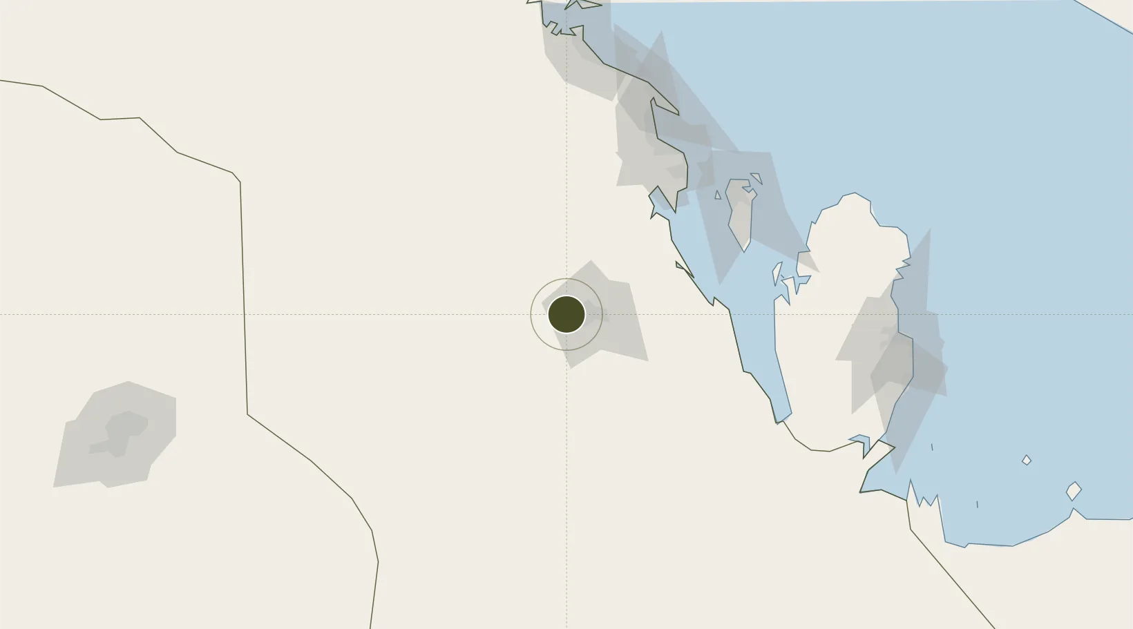
25.4068°, 49.4685°
150 ha
Zone area
141.9 km
Nearest port
13.6 km
Nearest airport

Gateway access

Nearest neighbours — logibook spatial index (haversine) over the source coordinates

Zone profile

Zone type
Free Trade Zone
Open Zone Map
Region
Ash Sharqiyah
Open Zone Map
Status
Active
Open Zone Map
Management
Public
Open Zone Map
Operator
Saudi Authority for Industrial Estates and Technology Zones
Open Zone Map
Legal framework
Ministerial Legislation No. 235 dated 27/8/1422H
Open Zone Map

Location

Location of ozm-4061
Natural Earth 10m (public domain) · Ash Sharqiyah · ozm-4061 · 25.41, 49.47GoogleOSMYandex

Nearby Logistics Neighbours

Ports
  1. 1Dammam142 km
  2. 2Al Manamah145 km
  3. 3Mina Salman146 km
  4. 4Sitrah147 km
  5. 5Ras Tannurah153 km
Nearest neighbours — logibook spatial index (haversine) over the source coordinates
Airports
  1. 1Al-Ahsa International Airport14 km
  2. 2King Abdulaziz Air Base117 km
  3. 3King Fahd International Airport123 km
  4. 4Sheik Isa Air Base126 km
  5. 5Bahrain International Airport151 km
Nearest neighbours — logibook spatial index (haversine) over the source coordinates
Cities
  1. 1Al Khobar122 km
  2. 2Madinat Hamad129 km
  3. 3Hamad Town129 km
  4. 4Ad Dammam135 km
  5. 5Al Hajar136 km
Nearest neighbours — logibook spatial index (haversine) over the source coordinates
Trade Zones
  1. 1King Salman Energy City SPARK70 km
  2. 2Dammam Industrial City (Third)76 km
  3. 3Dammam Industrial City (Second)107 km
  4. 4Dammam Industrial City (First)129 km
  5. 5Bahrain Investment Wharf (BIW)150 km
Nearest neighbours — logibook spatial index (haversine) over the source coordinates
DatabookThe Record of Consolidated Knowledge
Saudi Arabia beyond logistics?
Browse databook

All Sources

Trade ZonesOpen Zone Map
CC BY
Portsthe NGA World Port Index
Public domain (US gov)
AirportsOurAirports
Public domain
LocationsUN/LOCODE
UN/LOCODE — free
← Saudi Arabia trade zones