Free Trade Zone · Saudi Arabia

King Salman Energy City SPARK Active
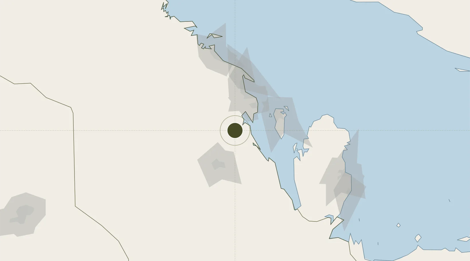
25.9178°, 49.8757°
1,200 ha
Zone area
72.4 km
Nearest port
47.5 km
Nearest airport

Gateway access

Nearest neighbours — logibook spatial index (haversine) over the source coordinates

Zone profile

Zone type
Free Trade Zone
Open Zone Map
Region
Ash Sharqiyah
Open Zone Map
Status
Active
Open Zone Map
Management
Public-Private Partnership
Open Zone Map
Operator
Saudi Aramco and Saudi Authority for Industrial Estates and Technology Zones
Open Zone Map
Legal framework
Ministerial Legislation No. 235 dated 27/8/1422H
Open Zone Map

Location

Location of ozm-4081
Natural Earth 10m (public domain) · Ash Sharqiyah · ozm-4081 · 25.92, 49.88GoogleOSMYandex

Nearby Logistics Neighbours

Ports
  1. 1Dammam72 km
  2. 2Al Manamah79 km
  3. 3Mina Salman82 km
  4. 4Sitrah84 km
  5. 5Ras Tannurah85 km
Nearest neighbours — logibook spatial index (haversine) over the source coordinates
Airports
  1. 1King Abdulaziz Air Base48 km
  2. 2King Fahd International Airport62 km
  3. 3Sheik Isa Air Base72 km
  4. 4Al-Ahsa International Airport81 km
  5. 5Bahrain International Airport85 km
Nearest neighbours — logibook spatial index (haversine) over the source coordinates
Cities
  1. 1Al Khobar52 km
  2. 2Madinat Hamad66 km
  3. 3Hamad Town66 km
  4. 4Ad Dammam66 km
  5. 5Al Hajar70 km
Nearest neighbours — logibook spatial index (haversine) over the source coordinates
Trade Zones
  1. 1Dammam Industrial City (Third)8 km
  2. 2Dammam Industrial City (Second)39 km
  3. 3Dammam Industrial City (First)59 km
  4. 4Al-Ahsa Al-Aḥsāʾ Industrial City Hasa (First)70 km
  5. 5Bahrain International Airport85 km
Nearest neighbours — logibook spatial index (haversine) over the source coordinates
DatabookThe Record of Consolidated Knowledge
Saudi Arabia beyond logistics?
Browse databook

All Sources

Trade ZonesOpen Zone Map
CC BY
Portsthe NGA World Port Index
Public domain (US gov)
AirportsOurAirports
Public domain
LocationsUN/LOCODE
UN/LOCODE — free
← Saudi Arabia trade zones