Seaport · Qatar

DohaQADOH

25.2833°, 51.5333°
11.0 m
Channel depth
22.4
Port liner connectivity
Doha is also a UN/LOCODE logistics hub →

Channel & Berth Profile

SEA LEVEL (CD)CHANNEL BEDCargo pier · 8.8 mChannel · 11.0 mAnchorage · 12.0 m
NGA World Port Index

Pilotage, Tugs & Services

Pilotage compulsoryYES
Pilotage availableYES
Pilotage advisableYES
Tug assistanceYES
Shore powerNO
Potable waterYES
Diesel bunkersYES
MedicalYES
Garbage disposalYES
NGA World Port Index

Facilities & Capabilities

Container
Ro-Ro
Liquid bulk
Dry bulk
Oil terminal
Break bulk
Dry dock
RepairsNO
BunkeringYES
Rail linkYES
Dangerous cargo
ISPS security
NGA World Port Index

Harbour Specifications

Harbour size
Small
NGA World Port Index
Harbour type
Coastal (Natural)
NGA World Port Index
Shelter
Fair
NGA World Port Index
Water body
Persian Gulf; Indian Ocean
NGA World Port Index
Tidal range
1.5 m
NGA World Port Index
Overhead limit
Yes
NGA World Port Index
Pilotage
Yes
NGA World Port Index

Liner Connectivity

22.4
PLSCI

Port Liner Shipping Connectivity Index for Doha, as published by UNCTAD for the latest available quarter. Higher values indicate stronger scheduled liner-shipping integration.

Shown relative to the highest per-port PLSCI in the dataset (1,657.9).
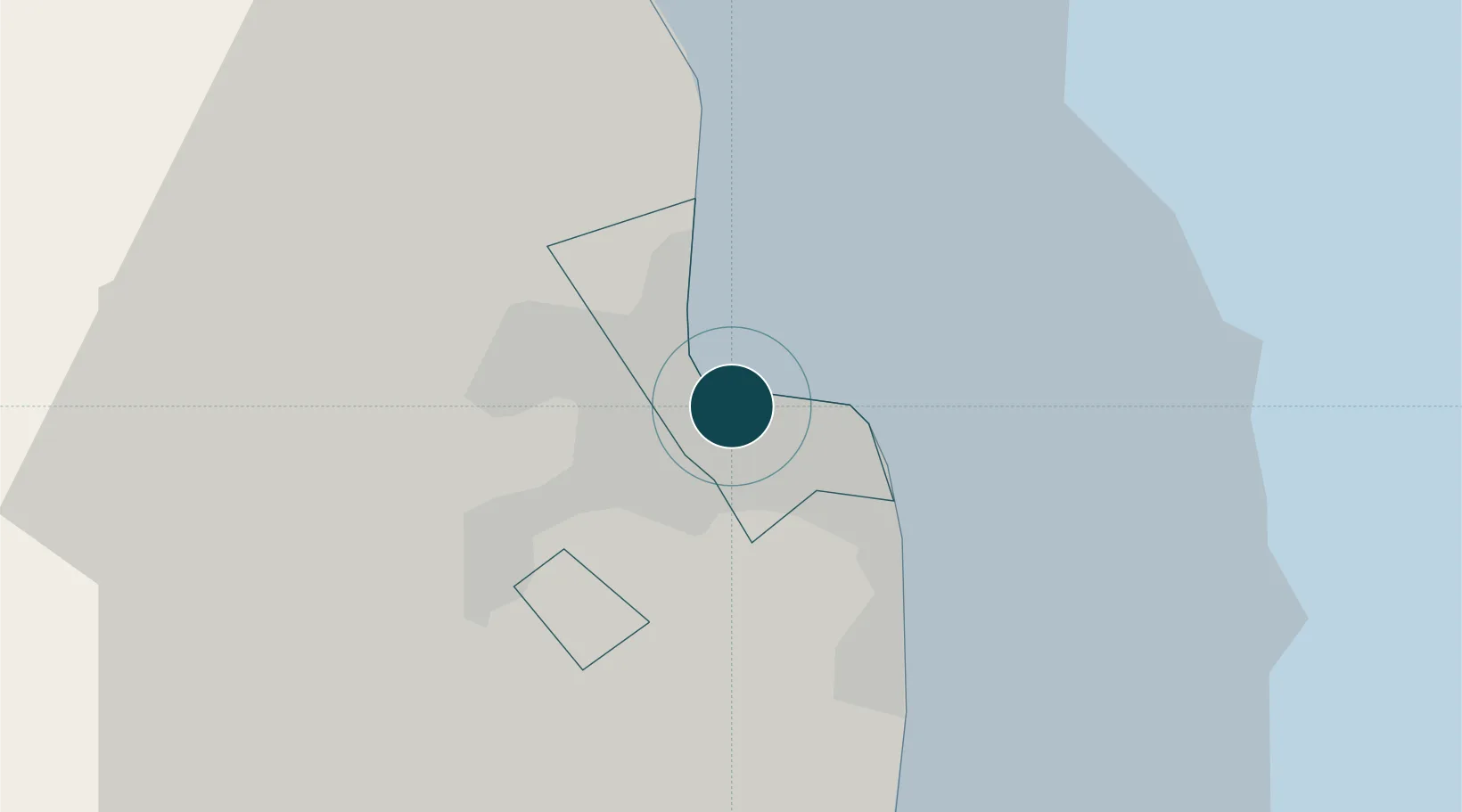
UNCTAD · Port Liner Shipping Connectivity Index

Location

Location of QADOH
Natural Earth 10m (public domain) · Ad Dawhah · QADOH · 25.28, 51.53GoogleOSMYandex

Nearby Logistics Neighbours

Ports
  1. 1Umm Said41 km
  2. 2Ras Laffan71 km
  3. 3Jazirat Halul99 km
  4. 4Sitrah131 km
  5. 5Khalifa Bin Salman133 km
Nearest neighbours — logibook spatial index (haversine) over the source coordinates
Cities
  1. 1BGN/PCGN1956 - HAMAD12 km
  2. 2Umm Qarn30 km
  3. 3Umm Sa'id (Mesaieed)37 km
  4. 4Qapco41 km
  5. 5Qchem48 km
Nearest neighbours — logibook spatial index (haversine) over the source coordinates
Airports
  1. 1Doha International Airport4 km
  2. 2Hamad International Airport8 km
  3. 3Al Udeid Air Base29 km
  4. 4Sheik Isa Air Base118 km
  5. 5Delma Airport118 km
Nearest neighbours — logibook spatial index (haversine) over the source coordinates
Trade Zones
  1. 1Qatar Media City1 km
  2. 2Qatar Financial Centre5 km
  3. 3Ras Bufontas - Airport Free Zone9 km
  4. 4Qatar Science and Technology Park11 km
  5. 5Umm Alhoul - Port Free Zone20 km
Nearest neighbours — logibook spatial index (haversine) over the source coordinates
DatabookThe Record of Consolidated Knowledge
Qatar beyond logistics?
Browse databook

All Sources

Portsthe NGA World Port Index
Public domain (US gov)
Logistics performanceUNCTAD
CC BY 3.0 IGO
AirportsOurAirports
Public domain
LocationsUN/LOCODE
UN/LOCODE — free
Trade Zonesthe World Bank SEZ database
CC BY 4.0
Trade ZonesOpen Zone Map
CC BY
← Qatar ports