Transport Functions
Port
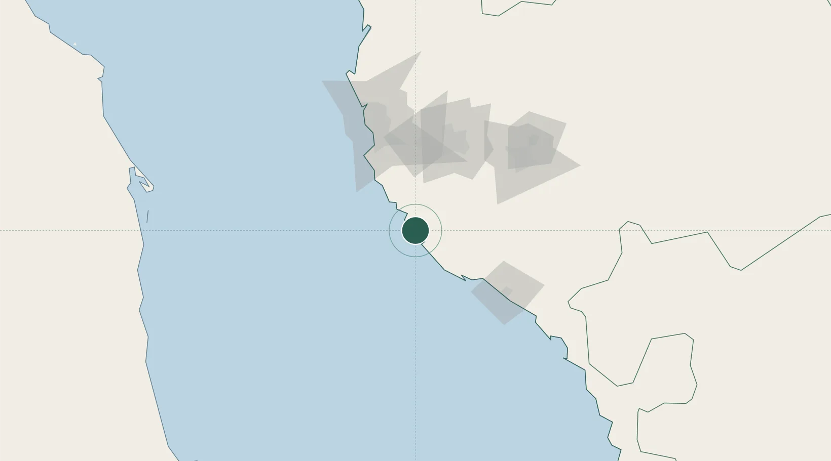
Location
Nearby Logistics Neighbours
Cities
- 1Jeddah83 km
- 2Tusdeer Free Zone97 km
- 3Jeddah Yachts Club Port116 km
- 4King Abdullah City203 km
- 5Al Qunfudah238 km
Ports
- 1Jiddah95 km
- 2Rabigh235 km
- 3Port Sudan267 km
- 4Sawakin Harbor285 km
- 5Yanbu407 km
Airports
Trade Zones
DatabookThe Record of Consolidated Knowledge
Saudi Arabia beyond logistics?