Diversified Zone · Uganda

Arua Special Economic Zone Active
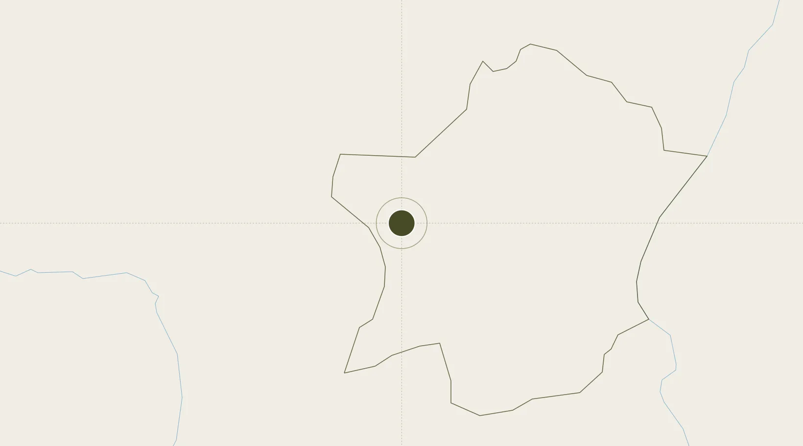
2.9822°, 30.8883°
13 ha
Zone area
1,237.3 km
Nearest port
7.9 km
Nearest airport

Gateway access

Nearest neighbours — logibook spatial index (haversine) over the source coordinates

Zone profile

Zone type
Diversified Zone
Open Zone Map
Region
Arua
Open Zone Map
Status
Active
Open Zone Map
Management
Private
Open Zone Map
Operator
Arua SEZ, Ltd.
Open Zone Map
Legal framework
Free Zones Act, 2014 (No. 5 of 2014).
Open Zone Map

Location

Location of ozm-4586
Natural Earth 10m (public domain) · Arua · ozm-4586 · 2.98, 30.89GoogleOSMYandex

Nearby Logistics Neighbours

Ports
  1. 1Malindi1237 km
  2. 2Kilifi1240 km
  3. 3Mombasa1251 km
  4. 4Lamu1257 km
  5. 5Tanga1281 km
Nearest neighbours — logibook spatial index (haversine) over the source coordinates
Airports
  1. 1Arua Airport8 km
  2. 2Gulu Airport155 km
  3. 3Bunia Airport174 km
  4. 4Juba International Airport225 km
  5. 5Soroti Airport334 km
Nearest neighbours — logibook spatial index (haversine) over the source coordinates
Cities
  1. 1Rwamagana125 km
  2. 2Galiraya289 km
  3. 3Mukono358 km
  4. 4Moroto423 km
  5. 5Malaba458 km
Nearest neighbours — logibook spatial index (haversine) over the source coordinates
Trade Zones
  1. 1Buliisa Industrial Park114 km
  2. 2Gulu Industrial Park154 km
  3. 3Hoima Industrial Park178 km
  4. 4Juba Specialised Economic Zone229 km
  5. 5Lira Industrial Park239 km
Nearest neighbours — logibook spatial index (haversine) over the source coordinates
DatabookThe Record of Consolidated Knowledge
Uganda beyond logistics?
Browse databook

All Sources

Trade ZonesOpen Zone Map
CC BY
Portsthe NGA World Port Index
Public domain (US gov)
AirportsOurAirports
Public domain
LocationsUN/LOCODE
UN/LOCODE — free
← Uganda trade zones