Export Processing Zone · Uganda

Kasese Industrial Park Under Development
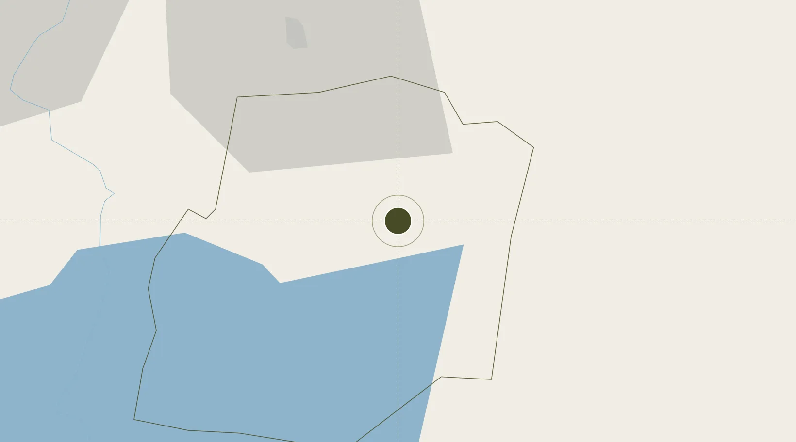
0.1546°, 30.0695°
87 ha
Zone area
1,161.3 km
Nearest port
105.2 km
Nearest airport

Gateway access

Nearest neighbours — logibook spatial index (haversine) over the source coordinates

Zone profile

Zone type
Export Processing Zone
Open Zone Map
Region
Kasese
Open Zone Map
Status
Under Development
Open Zone Map
Management
Public-Private Partnership
Open Zone Map
Operator
The Govermnent of Uganda
Open Zone Map
Legal framework
Free Zones Act, 2014 (No. 5 of 2014).
Open Zone Map

Location

Location of ozm-4594
Natural Earth 10m (public domain) · Kasese · ozm-4594 · 0.15, 30.07GoogleOSMYandex

Nearby Logistics Neighbours

Ports
  1. 1Tanga1161 km
  2. 2Mombasa1165 km
  3. 3Kilifi1167 km
  4. 4Malindi1180 km
  5. 5Zanzibar1232 km
Nearest neighbours — logibook spatial index (haversine) over the source coordinates
Airports
  1. 1Savannah Airstrip105 km
  2. 2Bunia Airport158 km
  3. 3Kisoro Airport165 km
  4. 4Goma International Airport223 km
  5. 5Gisenyi Airport223 km
Nearest neighbours — logibook spatial index (haversine) over the source coordinates
Cities
  1. 1Nyagatare162 km
  2. 2Mutara199 km
  3. 3Rwamagana204 km
  4. 4Mukono299 km
  5. 5Galiraya336 km
Nearest neighbours — logibook spatial index (haversine) over the source coordinates
Trade Zones
  1. 1Bushenyi Industrial Park79 km
  2. 2Mbarara Industrial Park105 km
  3. 3Mubende Industrial Park153 km
  4. 4Kabale Industrial Park156 km
  5. 5Kabaale Industrial Park158 km
Nearest neighbours — logibook spatial index (haversine) over the source coordinates
DatabookThe Record of Consolidated Knowledge
Uganda beyond logistics?
Browse databook

All Sources

Trade ZonesOpen Zone Map
CC BY
Portsthe NGA World Port Index
Public domain (US gov)
AirportsOurAirports
Public domain
LocationsUN/LOCODE
UN/LOCODE — free
← Uganda trade zones