Transport Functions
Multimodal
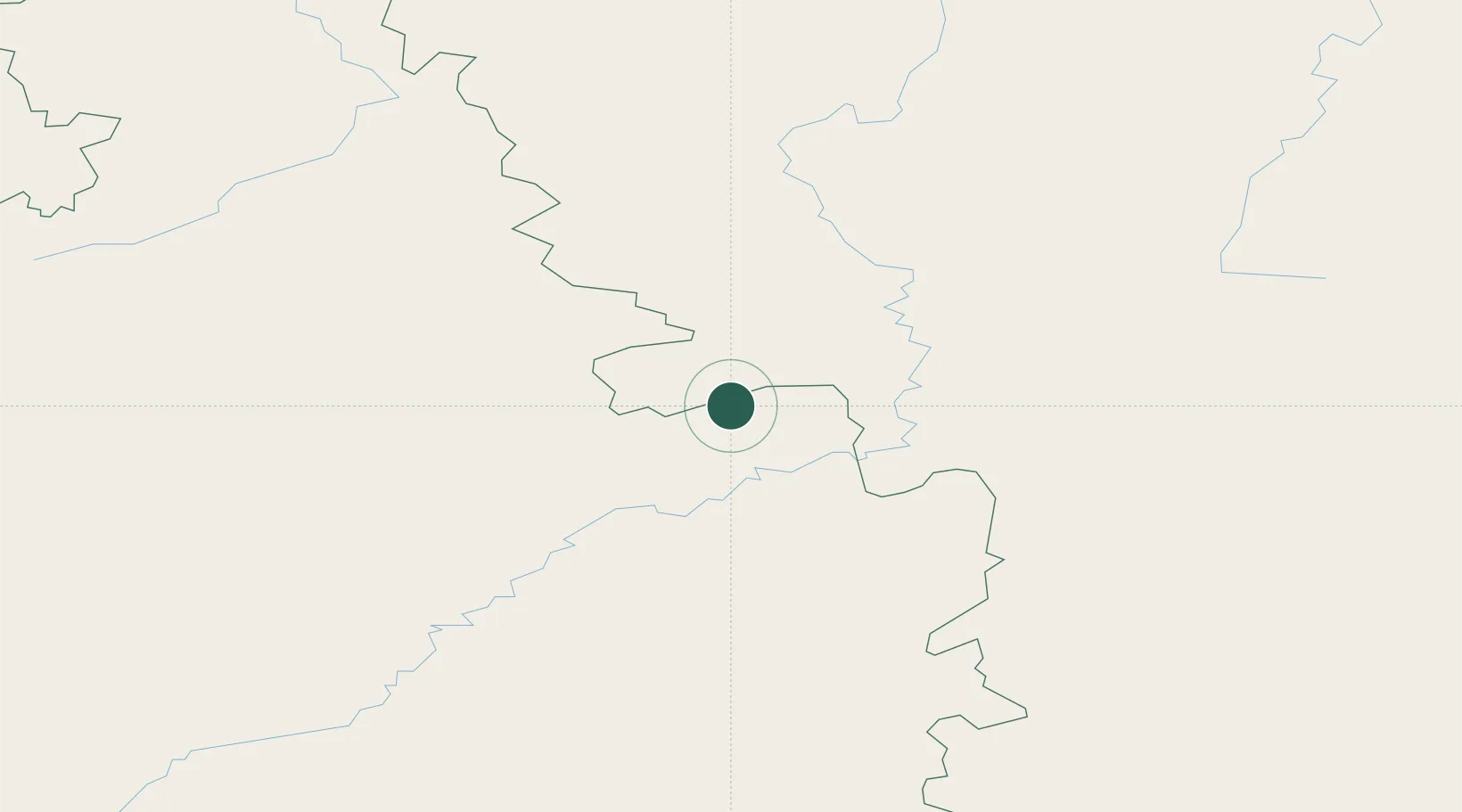
Hub Profile
Region
84
Location
Nearby Logistics Neighbours
Ports
- 1Vladivostok1632 km
- 2Slavyanka1639 km
- 3Pos'yet1643 km
- 4Zarubino1653 km
- 5Najin1670 km
Airports
- 1Chulman Airport281 km
- 2Mohe Gulian Airport351 km
- 3Taksimo Airport362 km
- 4Byas-Kyuyol Airport407 km
- 5Bodaybo Airport449 km
DatabookThe Record of Consolidated Knowledge
Denmark beyond logistics?