Transport Functions
Multimodal
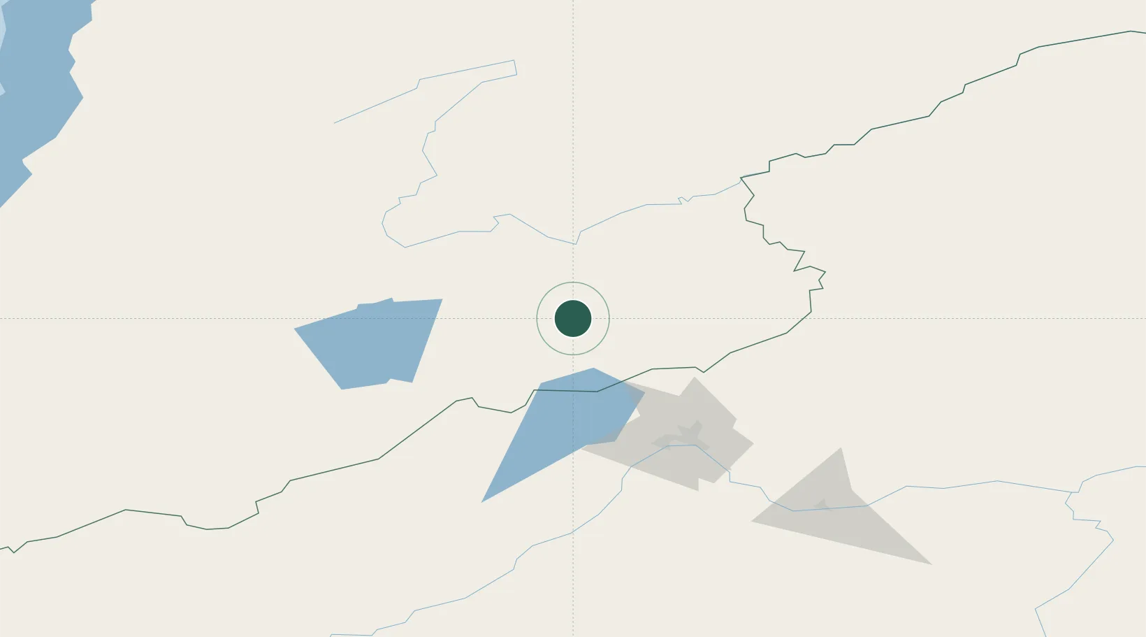
Hub Profile
Place type
Populated place
Region
Alberta
Time zone
America/Edmonton
Elevation
784 m
Location
Nearby Logistics Neighbours
Cities
- 1Blankenheim141 km
- 2Badersleben225 km
- 3Neuenhagen227 km
- 4Foremost379 km
- 5Adelschlag379 km
Ports
- 1Jinzhou Wan1478 km
- 2Huludao Gang1480 km
- 3Qinhuangdao1520 km
- 4Yingkou1523 km
- 5Bayuquan1557 km
Airports
- 1Cheryomushki Air Base90 km
- 2Chita-Kadala International Airport92 km
- 3Bada Air Base249 km
- 4Step Air Base268 km
- 5Ulan-Ude East Airport358 km
Trade Zones
DatabookThe Record of Consolidated Knowledge
Canada beyond logistics?