Transport Functions
Port
Hub Profile
Place type
Populated place
Region
Central Serbia
Population
7,592
Time zone
Europe/Belgrade
Elevation
78 m
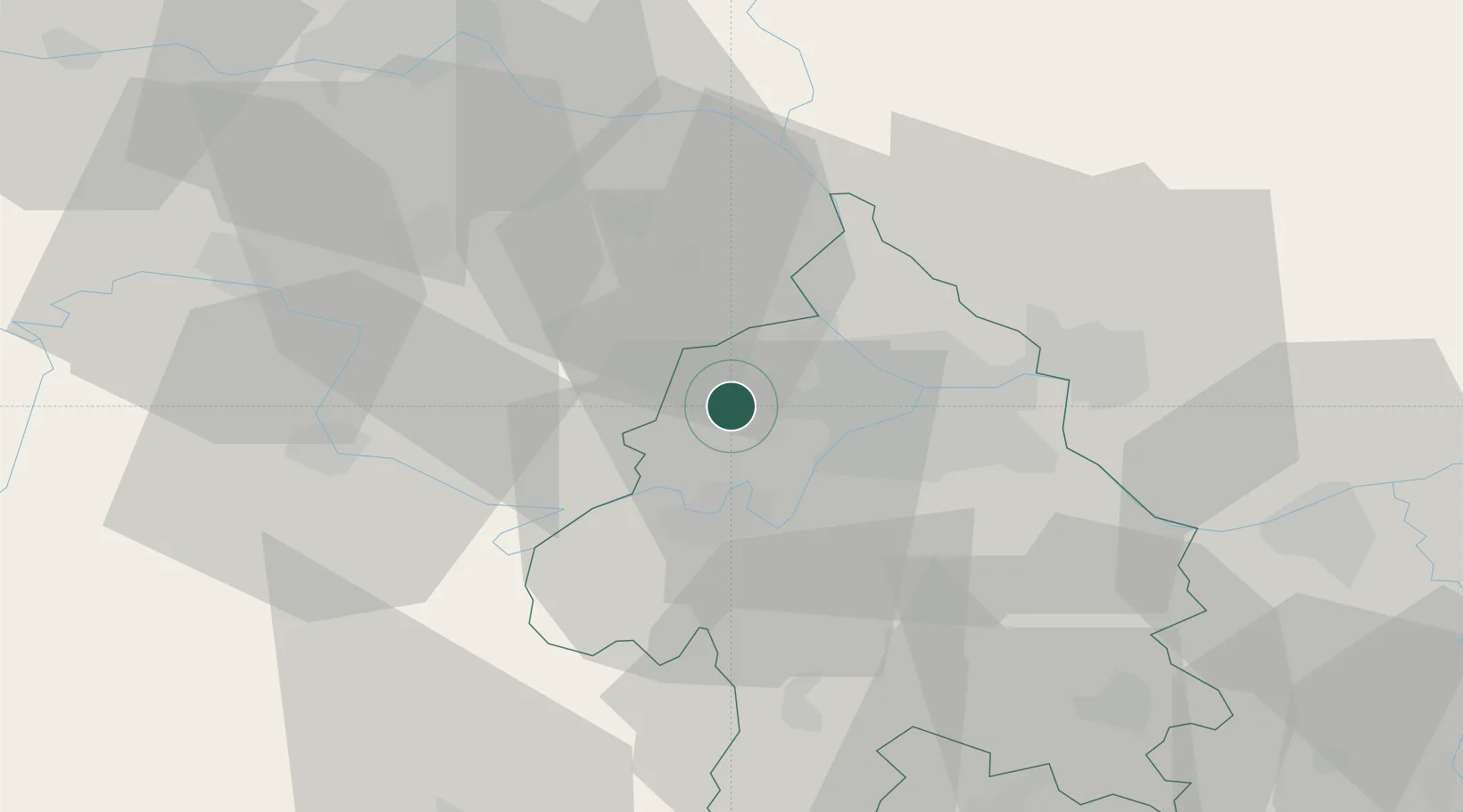
Location
Nearby Logistics Neighbours
Cities
- 1Surcin6 km
- 2Belgrade (Beograd)10 km
- 3Nova Pazova13 km
- 4Zemun15 km
- 5Novi Beograd16 km
Airports
- 1Belgrade Nikola Tesla Airport7 km
- 2Batajnica Air Base14 km
- 3Ponikve Airport110 km
- 4Morava Airport115 km
- 5Tuzla International Airport125 km
Trade Zones
- 1Beograd Free Zone21 km
- 2Novi Sad Free Zone58 km
- 3Smederevo Free Zone59 km
- 4Zrenjanin Free Zone63 km
- 5ō abac Free Zone76 km
DatabookThe Record of Consolidated Knowledge
Serbia beyond logistics?