Transport Functions
Rail
Road
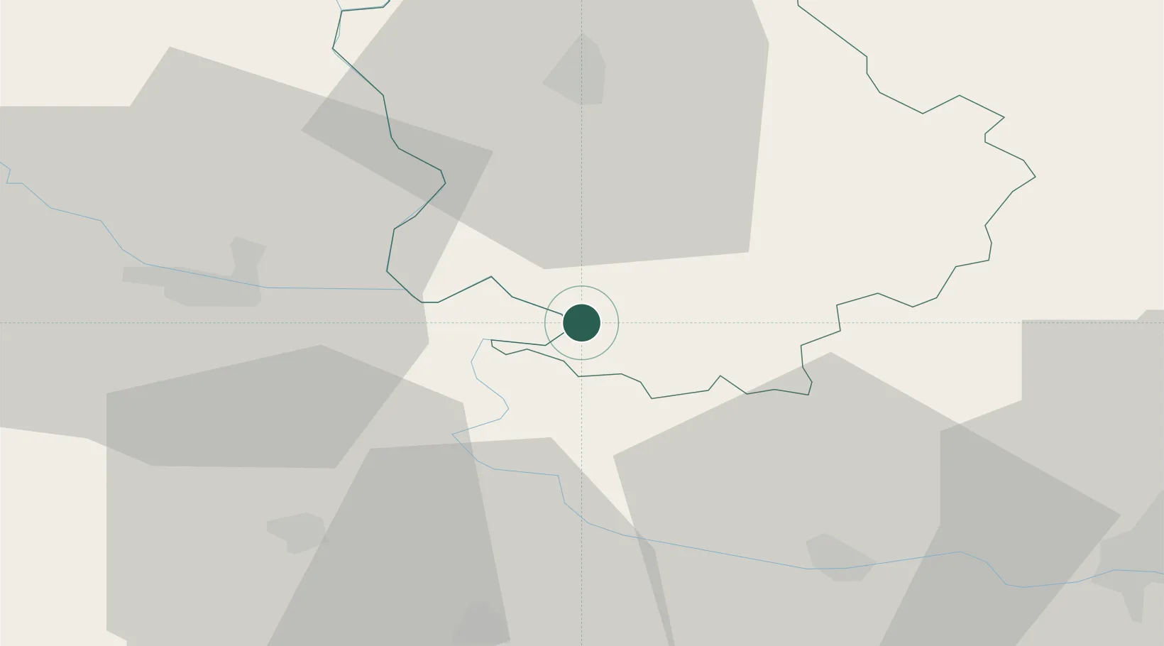
Hub Profile
Place type
Populated place
Region
Vojvodina
Population
2,312
Time zone
Europe/Belgrade
Elevation
84 m
Location
Nearby Logistics Neighbours
Cities
- 1Erdut4 km
- 2Dalj11 km
- 3Aljmas13 km
- 4Borovo Selo15 km
- 5Apatin20 km
Airports
- 1Osijek Airport25 km
- 2Pécs-Pogány International Airport86 km
- 3Batajnica Air Base110 km
- 4Kalocsa-Foktő Airfield116 km
- 5Tuzla International Airport122 km
Trade Zones
- 1Podunavska Gospodarska Zona Vukovar22 km
- 2Apatin Free Zone22 km
- 3Osijek Free Zone56 km
- 4Novi Sad Free Zone63 km
- 5Subotica Free Zone74 km
DatabookThe Record of Consolidated Knowledge
Serbia beyond logistics?