Transport Functions
Rail
Road
Hub Profile
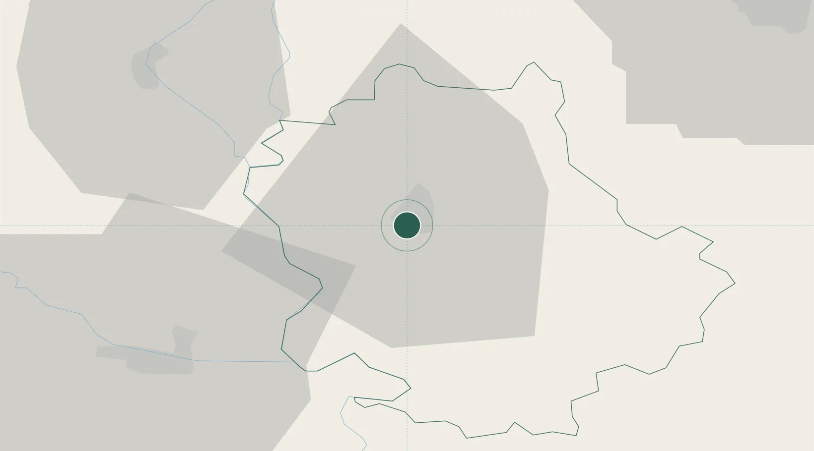
Place type
Provincial seat
Region
Vojvodina
Population
48,454
Time zone
Europe/Belgrade
Elevation
89 m
Location
Nearby Logistics Neighbours
Airports
- 1Osijek Airport41 km
- 2Pécs-Pogány International Airport71 km
- 3Kalocsa-Foktő Airfield88 km
- 4Taszár Air Base115 km
- 5Batajnica Air Base129 km
Trade Zones
- 1Apatin Free Zone14 km
- 2Podunavska Gospodarska Zona Vukovar48 km
- 3Subotica Free Zone54 km
- 4Osijek Free Zone71 km
- 5Novi Sad Free Zone80 km
DatabookThe Record of Consolidated Knowledge
Serbia beyond logistics?