Transport Functions
Rail
Road
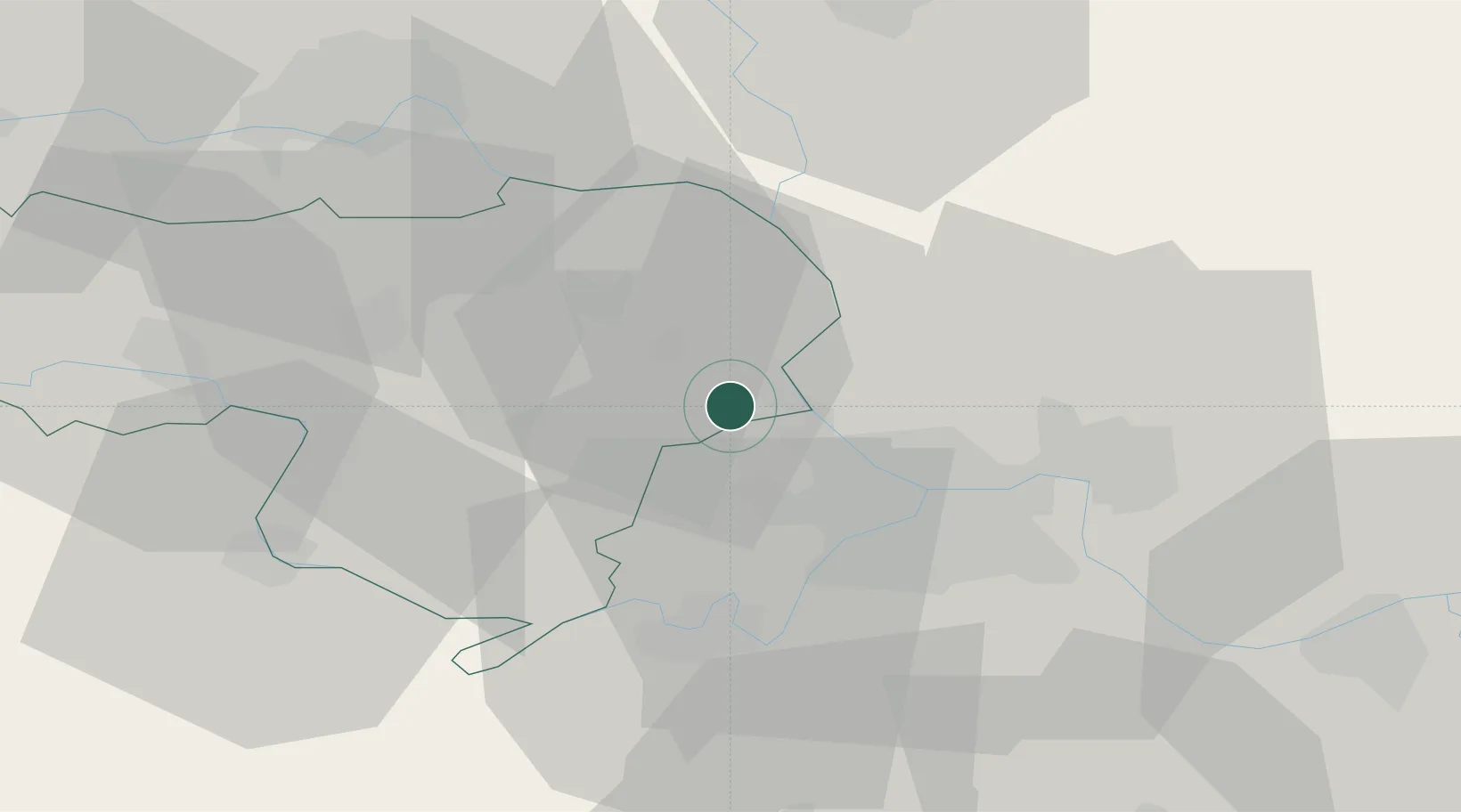
Hub Profile
Place type
Populated place
Region
Vojvodina
Population
15,488
Time zone
Europe/Belgrade
Elevation
76 m
Location
Nearby Logistics Neighbours
Cities
- 1Stara Pazova9 km
- 2Dobanovci13 km
- 3Surcin15 km
- 4Belgrade (Beograd)16 km
- 5Zemun17 km
Airports
- 1Batajnica Air Base2 km
- 2Belgrade Nikola Tesla Airport14 km
- 3Ponikve Airport123 km
- 4Osijek Airport126 km
- 5Morava Airport127 km
Trade Zones
- 1Beograd Free Zone23 km
- 2Novi Sad Free Zone48 km
- 3Zrenjanin Free Zone50 km
- 4Smederevo Free Zone63 km
- 5ō abac Free Zone84 km
DatabookThe Record of Consolidated Knowledge
Serbia beyond logistics?