Transport Functions
Rail
Road
Hub Profile
Place type
Provincial seat
Region
Vojvodina
Population
79,773
Time zone
Europe/Belgrade
Elevation
81 m
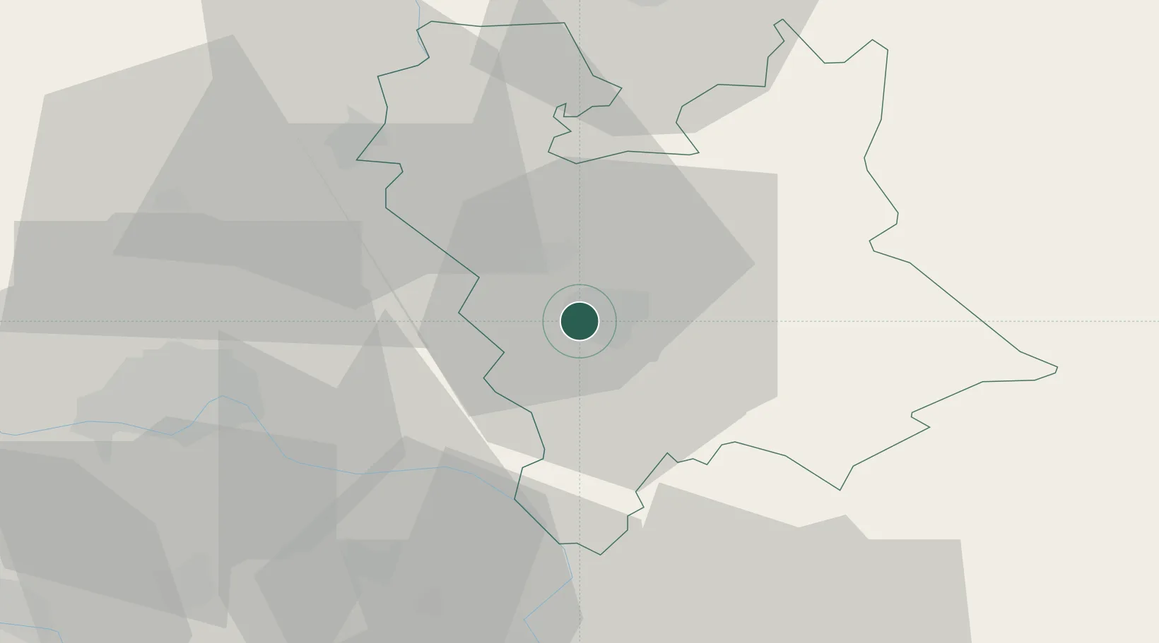
Location
Nearby Logistics Neighbours
Cities
- 1Zitiste17 km
- 2Curug25 km
- 3Becej37 km
- 4Sremski Karlovci40 km
- 5Novi Sad42 km
Airports
Trade Zones
- 1Zrenjanin Free Zone2 km
- 2Novi Sad Free Zone42 km
- 3Beograd Free Zone63 km
- 4VGP Park Timisoara78 km
- 5Smederevo Free Zone91 km
DatabookThe Record of Consolidated Knowledge
Serbia beyond logistics?