Transport Functions
Rail
Road
Hub Profile
Place type
Regional capital
Region
Vojvodina
Population
215,400
Time zone
Europe/Belgrade
Elevation
79 m
Logistics facilities
1
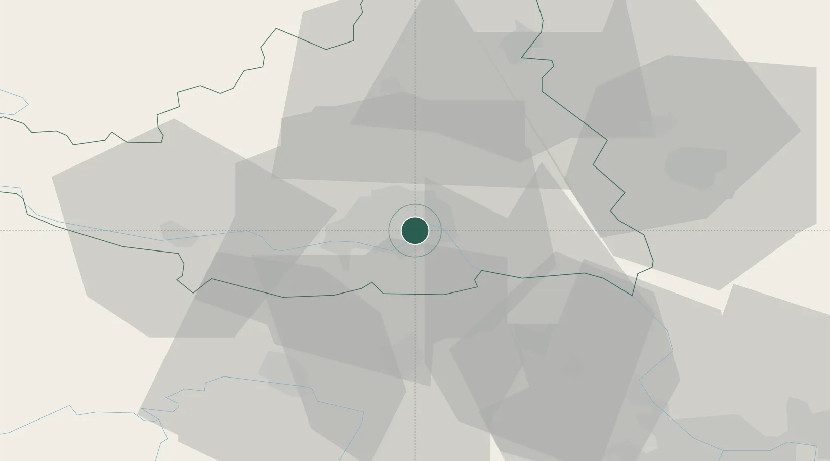
Location
Nearby Logistics Neighbours
Cities
- 1Veternik9 km
- 2Sremski Karlovci10 km
- 3Futog12 km
- 4Backi Petrovac23 km
- 5Celarevo27 km
Airports
Trade Zones
- 1Novi Sad Free Zone1 km
- 2Zrenjanin Free Zone43 km
- 3Podunavska Gospodarska Zona Vukovar68 km
- 4Beograd Free Zone70 km
- 5Apatin Free Zone83 km
DatabookThe Record of Consolidated Knowledge
Serbia beyond logistics?