UN/LOCODE hub · Serbia
RSSKA
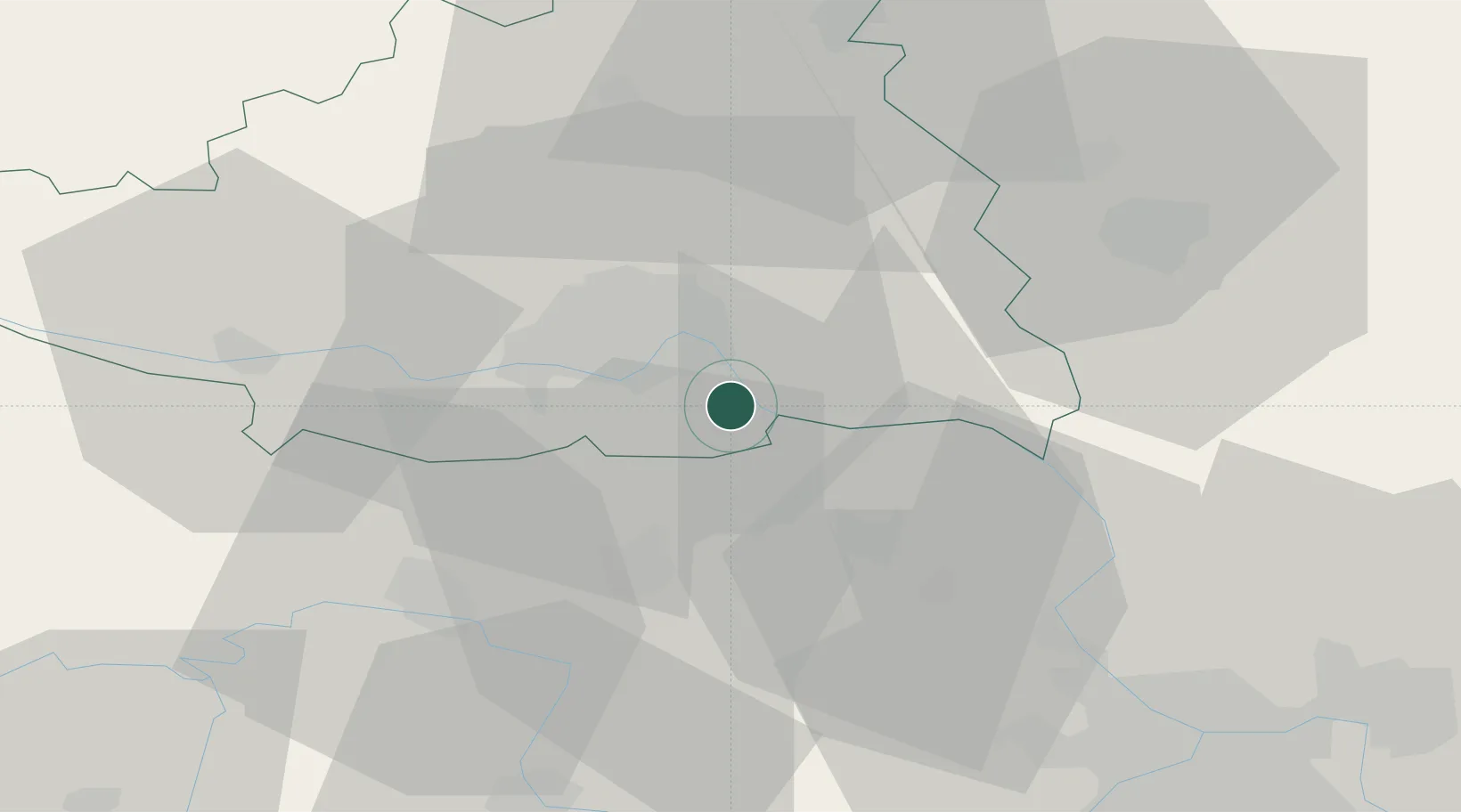
Sremski Karlovci
45.2000°, 19.9333°
8,839
Population
3
Transport functions
Transport Functions
Port
Rail
Road
Hub Profile
Place type
District seat
Region
Vojvodina
Population
8,839
Time zone
Europe/Belgrade
Elevation
88 m
Location
Nearby Logistics Neighbours
Airports
Trade Zones
- 1Novi Sad Free Zone10 km
- 2Zrenjanin Free Zone40 km
- 3Beograd Free Zone60 km
- 4Podunavska Gospodarska Zona Vukovar75 km
- 5ō abac Free Zone92 km
DatabookThe Record of Consolidated Knowledge
Serbia beyond logistics?