Transport Functions
Port
Hub Profile
Region
KH
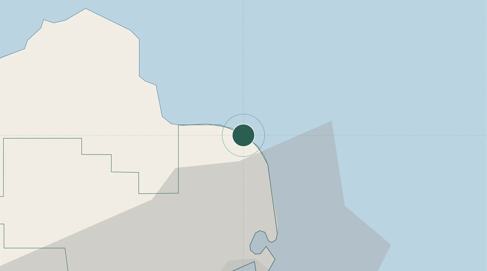
Location
Nearby Logistics Neighbours
Cities
- 1Al Ruwais Qatar39 km
- 2Umm Qarn46 km
- 3Doha81 km
- 4BGN/PCGN1956 - HAMAD84 km
- 5Al Shaheen87 km
Ports
- 1Doha72 km
- 2Al Rayyan Terminal80 km
- 3Khalifa Bin Salman86 km
- 4Al Shaheen Terminal86 km
- 5Sitrah90 km
Airports
- 1Hamad International Airport74 km
- 2Doha International Airport75 km
- 3Al Udeid Air Base93 km
- 4Sheik Isa Air Base94 km
- 5Bahrain International Airport97 km
Trade Zones
DatabookThe Record of Consolidated Knowledge
Qatar beyond logistics?