Seaport · Qatar

Ras LaffanQARLF

25.9167°, 51.5833°
15.0 m
Channel depth
11.7
Port liner connectivity
Ras Laffan is also a UN/LOCODE logistics hub →

Channel & Berth Profile

SEA LEVEL (CD)CHANNEL BEDAnchorage · 10.0 mCargo pier · 12.5 mChannel · 15.0 mOil terminal · 37.0 m
NGA World Port Index

Pilotage, Tugs & Services

Pilotage compulsoryYES
Pilotage availableYES
Pilotage advisableYES
Tug assistanceYES
Potable waterNO
Diesel bunkersNO
MedicalYES
Garbage disposalYES
NGA World Port Index

Facilities & Capabilities

Container
Ro-Ro
Liquid bulk
Dry bulk
Oil terminal
Break bulk
Dry dock
Repairs
BunkeringNO
Rail link
Dangerous cargo
ISPS security
NGA World Port Index

Harbour Specifications

Harbour size
Medium
NGA World Port Index
Harbour type
Coastal (Breakwater)
NGA World Port Index
Shelter
Good
NGA World Port Index
Water body
Persian Gulf; Indian Ocean
NGA World Port Index
Tidal range
2 m
NGA World Port Index
Overhead limit
No
NGA World Port Index
Pilotage
Yes
NGA World Port Index

Liner Connectivity

11.7
PLSCI

Port Liner Shipping Connectivity Index for Ras Laffan, as published by UNCTAD for the latest available quarter. Higher values indicate stronger scheduled liner-shipping integration.

Shown relative to the highest per-port PLSCI in the dataset (1,657.9).
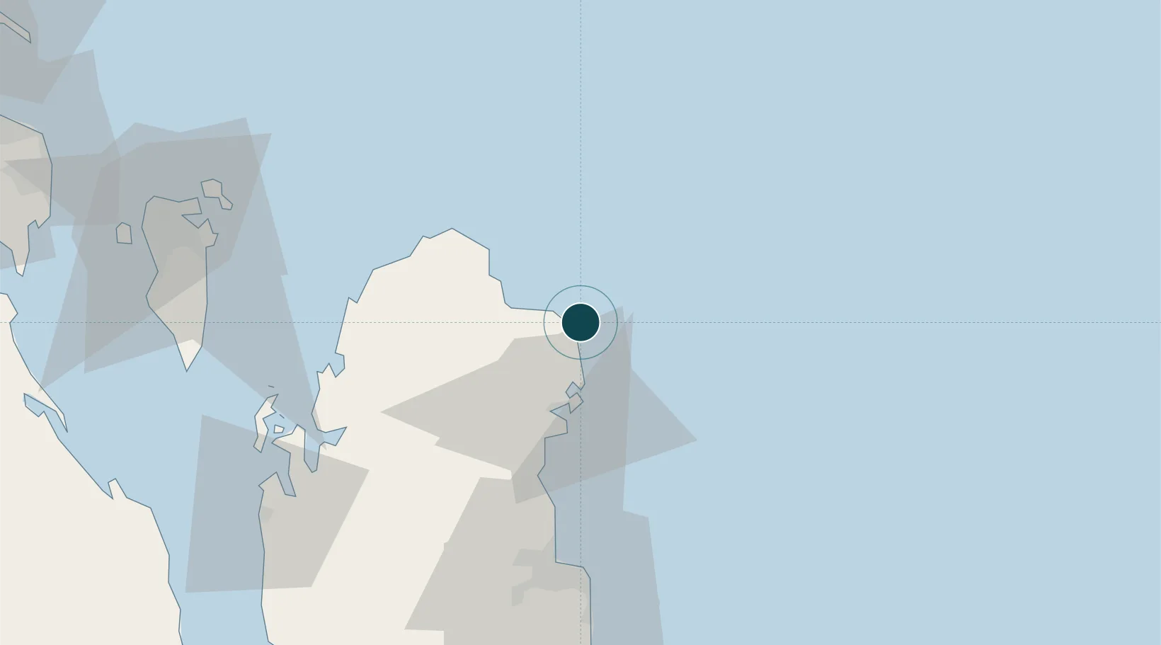
UNCTAD · Port Liner Shipping Connectivity Index

Location

Location of QARLF
Natural Earth 10m (public domain) · Al Khawr · QARLF · 25.92, 51.58GoogleOSMYandex

Nearby Logistics Neighbours

Ports
  1. 1Doha71 km
  2. 2Al Rayyan Terminal82 km
  3. 3Al Shaheen Terminal85 km
  4. 4Jazirat Halul87 km
  5. 5Khalifa Bin Salman91 km
Nearest neighbours — logibook spatial index (haversine) over the source coordinates
Cities
  1. 1Al Ruwais Qatar43 km
  2. 2Umm Qarn46 km
  3. 3Doha79 km
  4. 4BGN/PCGN1956 - HAMAD82 km
  5. 5Al Shaheen85 km
Nearest neighbours — logibook spatial index (haversine) over the source coordinates
Airports
  1. 1Hamad International Airport72 km
  2. 2Doha International Airport73 km
  3. 3Al Udeid Air Base93 km
  4. 4Sheik Isa Air Base99 km
  5. 5Bahrain International Airport102 km
Nearest neighbours — logibook spatial index (haversine) over the source coordinates
Trade Zones
  1. 1Qatar Financial Centre66 km
  2. 2Qatar Science and Technology Park67 km
  3. 3Qatar Media City70 km
  4. 4Ras Bufontas - Airport Free Zone77 km
  5. 5Umm Alhoul - Port Free Zone89 km
Nearest neighbours — logibook spatial index (haversine) over the source coordinates
DatabookThe Record of Consolidated Knowledge
Qatar beyond logistics?
Browse databook

All Sources

Portsthe NGA World Port Index
Public domain (US gov)
Logistics performanceUNCTAD
CC BY 3.0 IGO
AirportsOurAirports
Public domain
LocationsUN/LOCODE
UN/LOCODE — free
Trade Zonesthe World Bank SEZ database
CC BY 4.0
Trade ZonesOpen Zone Map
CC BY
← Qatar ports