Export Processing Zone · Bahrain

Sheikh Khalifa Bin Salman Port (KBSP) Active
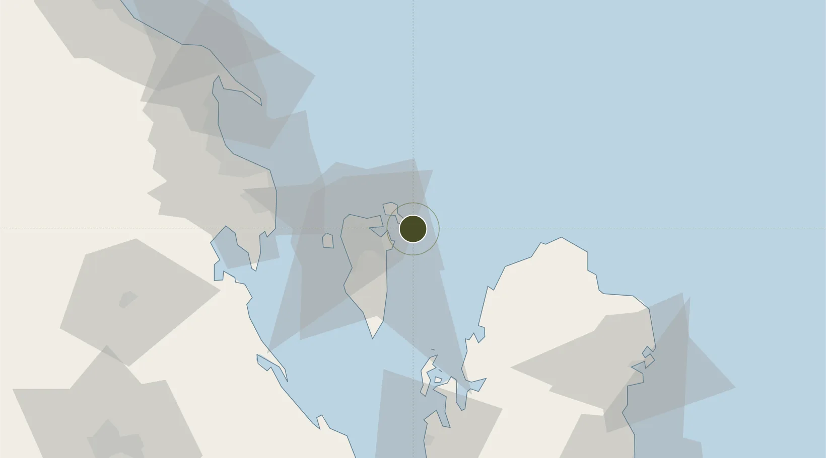
26.1898°, 50.7123°
110 ha
Zone area
5.2 km
Nearest port
11.4 km
Nearest airport

Gateway access

Nearest neighbours — logibook spatial index (haversine) over the source coordinates

Zone profile

Zone type
Export Processing Zone
Open Zone Map
Region
Ash Sharqiyah
Open Zone Map
Status
Active
Open Zone Map
Management
Public
Open Zone Map
Operator
APM Terminals Bahrain (operators)
Open Zone Map
Legal framework
Decree-Law No. 28: 1999: With Respect to the Establishment And Organisation of Industrial Areas
Open Zone Map

Location

Location of ozm-79
Natural Earth 10m (public domain) · Ash Sharqiyah · ozm-79 · 26.19, 50.71GoogleOSMYandex

Nearby Logistics Neighbours

Ports
  1. 1Sitrah5 km
  2. 2Khalifa Bin Salman8 km
  3. 3Mina Salman8 km
  4. 4Al Manamah14 km
  5. 5Dammam62 km
Nearest neighbours — logibook spatial index (haversine) over the source coordinates
Airports
  1. 1Bahrain International Airport11 km
  2. 2Sheik Isa Air Base33 km
  3. 3King Abdulaziz Air Base57 km
  4. 4Ras Tanura Airport90 km
  5. 5King Fahd International Airport96 km
Nearest neighbours — logibook spatial index (haversine) over the source coordinates
Cities
  1. 1Al Hidd9 km
  2. 2Khalifa Bin Salman Port10 km
  3. 3Mina Sulman Port10 km
  4. 4Sitrah11 km
  5. 5Al Ma'amir13 km
Nearest neighbours — logibook spatial index (haversine) over the source coordinates
Trade Zones
  1. 1Bahrain Logistics Zone5 km
  2. 2Bahrain International Investment Park5 km
  3. 3Bahrain Investment Wharf (BIW)5 km
  4. 4Bahrain International Airport12 km
  5. 5Dammam Industrial City (First)62 km
Nearest neighbours — logibook spatial index (haversine) over the source coordinates
DatabookThe Record of Consolidated Knowledge
Bahrain beyond logistics?
Browse databook

All Sources

Trade ZonesOpen Zone Map
CC BY
Portsthe NGA World Port Index
Public domain (US gov)
AirportsOurAirports
Public domain
LocationsUN/LOCODE
UN/LOCODE — free
← Bahrain trade zones