Channel & Berth Profile
Pilotage, Tugs & Services
Pilotage compulsoryNO
Pilotage availableYES
Pilotage advisableYES
Tug assistanceYES
Potable waterNO
MedicalYES
Garbage disposalNO
Facilities & Capabilities
Container—
Ro-Ro—
Liquid bulk—
Dry bulk—
Oil terminal—
Break bulk—
Dry dock—
Repairs—
BunkeringNO
Rail link—
Dangerous cargo—
ISPS security—
Harbour Specifications
Harbour size
Very Small
Harbour type
Open Roadstead
Water body
Persian Gulf; Indian Ocean
Tidal range
2 m
Pilotage
No
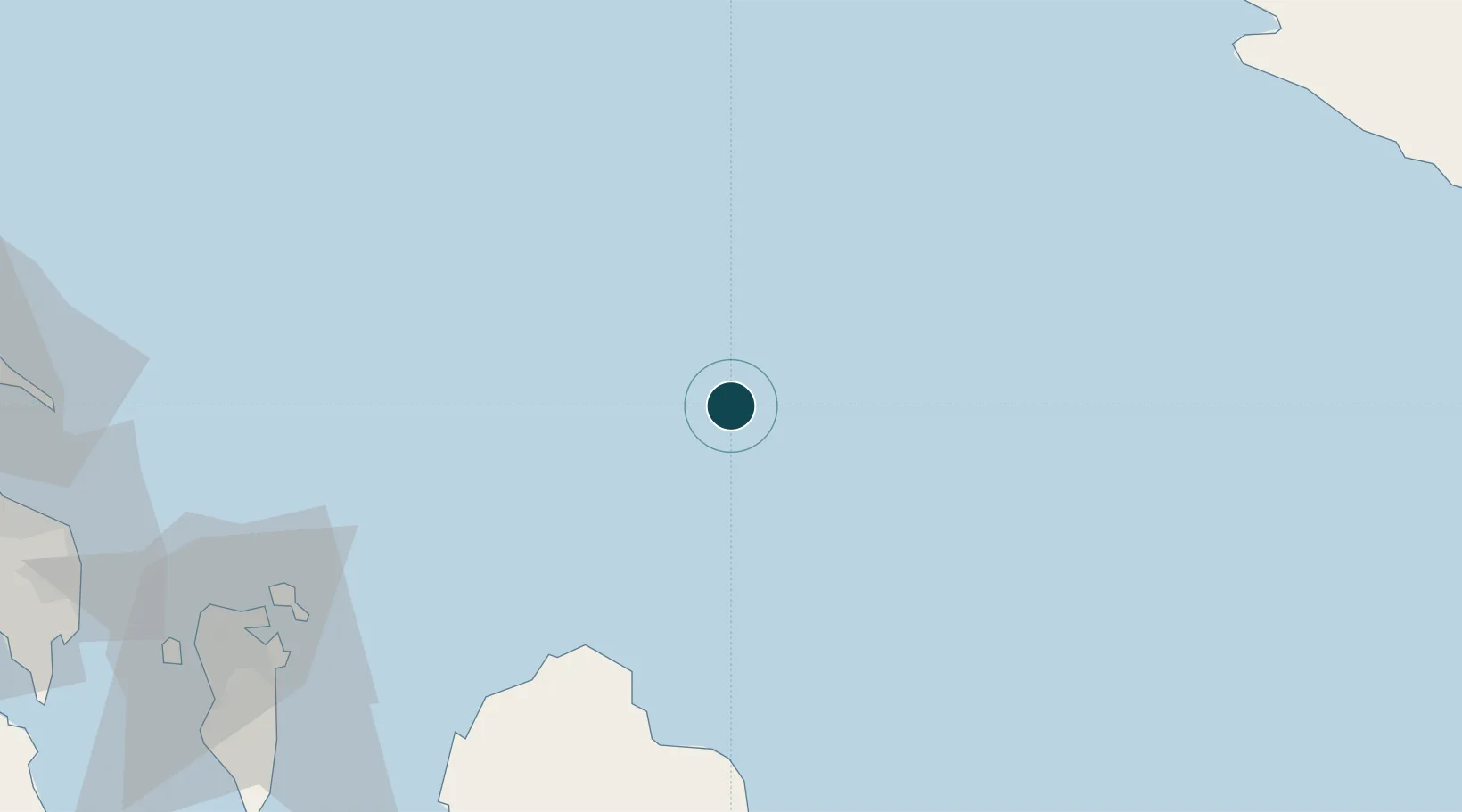
Location
Nearby Logistics Neighbours
Ports
- 1Al Shaheen Terminal45 km
- 2Ras Laffan82 km
- 3Khalifa Bin Salman91 km
- 4Sitrah103 km
- 5Mina Salman104 km
Cities
- 1Al Ruwais Qatar51 km
- 2Al Shaheen53 km
- 3Ras Laffan80 km
- 4Al Hidd98 km
- 5Al Muharraq105 km
Airports
- 1Bahrain International Airport100 km
- 2Sheik Isa Air Base126 km
- 3Persian Gulf International Airport143 km
- 4King Abdulaziz Air Base146 km
- 5Ras Tanura Airport151 km
Trade Zones
DatabookThe Record of Consolidated Knowledge
Qatar beyond logistics?