Transport Functions
Port
Hub Profile
Region
MS
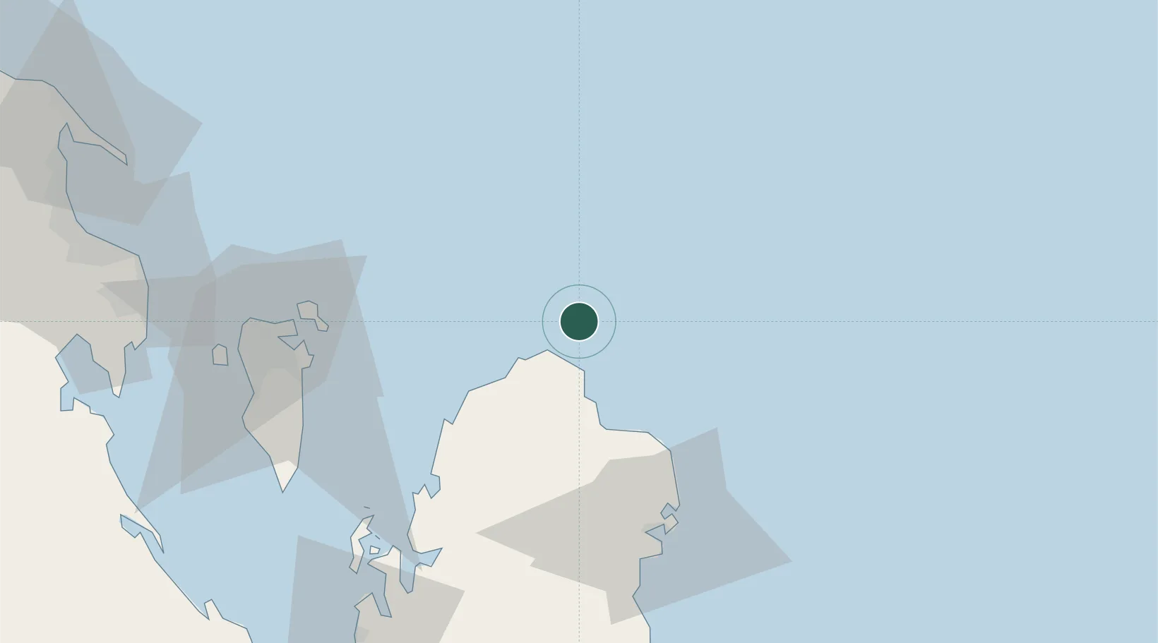
Location
Nearby Logistics Neighbours
Cities
- 1Ras Laffan39 km
- 2Al Hidd66 km
- 3Khalifa Bin Salman Port72 km
- 4Mina Sulman Port72 km
- 5Sitrah73 km
Ports
- 1Ras Laffan43 km
- 2Al Rayyan Terminal51 km
- 3Khalifa Bin Salman58 km
- 4Sitrah67 km
- 5Mina Salman70 km
Airports
- 1Bahrain International Airport70 km
- 2Sheik Isa Air Base82 km
- 3Hamad International Airport110 km
- 4Doha International Airport111 km
- 5King Abdulaziz Air Base118 km
Trade Zones
DatabookThe Record of Consolidated Knowledge
Qatar beyond logistics?