Free Trade Zone · Qatar

Ras Bufontas - Airport Free Zone Active
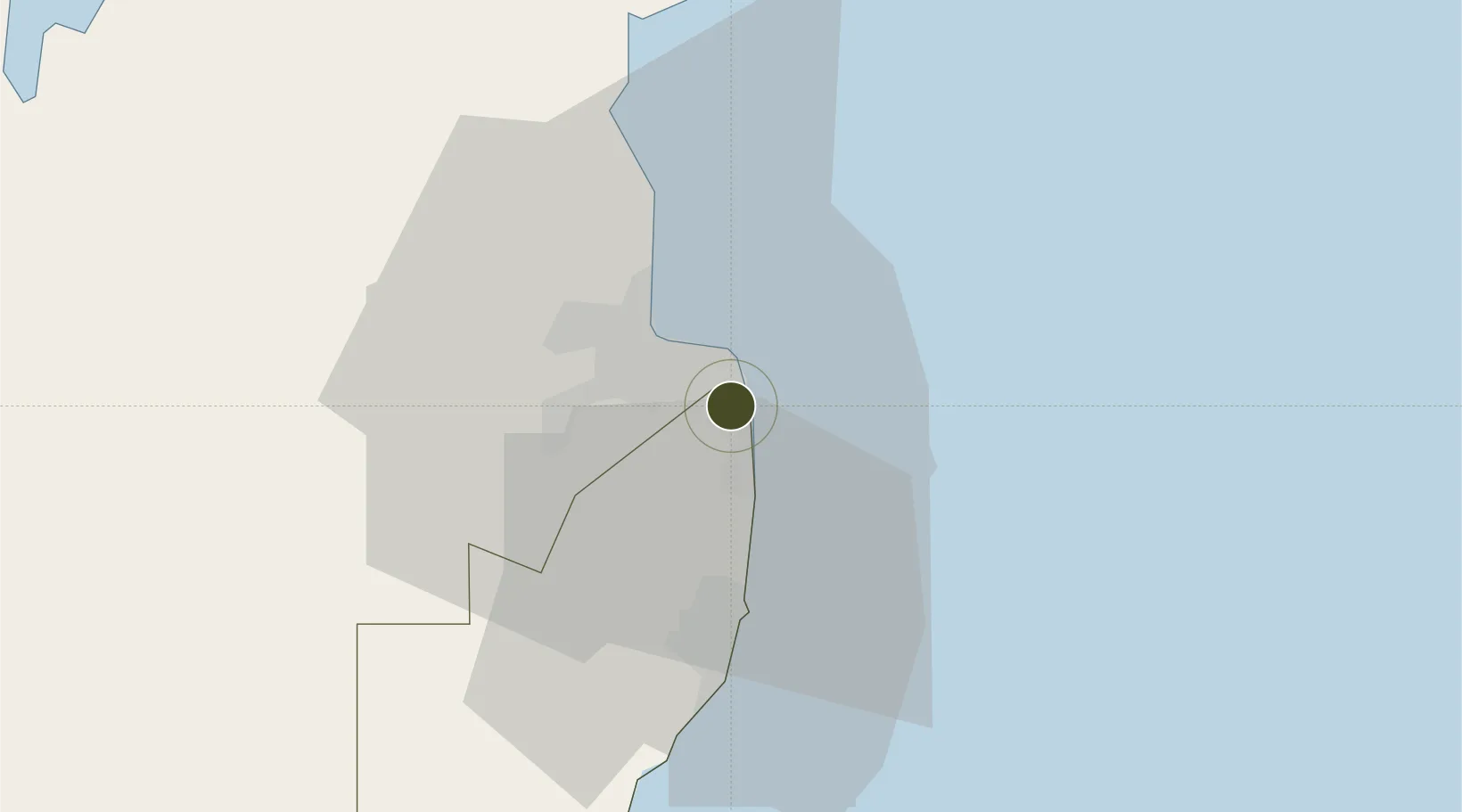
25.2270°, 51.5931°
396 ha
Zone area
8.7 km
Nearest port
4.5 km
Nearest airport

Gateway access

Nearest neighbours — logibook spatial index (haversine) over the source coordinates

Zone profile

Zone type
Free Trade Zone
Open Zone Map
Region
Al Wakrah
Open Zone Map
Status
Active
Open Zone Map
Management
Public
Open Zone Map
Operator
Qatar Free Zones Authority
Open Zone Map
Legal framework
Law No 34 of 2005, Decree Law No 21 of 2017. Foreign Investment Law (pending): Law 1/2019; Original Law: Law 13/2000
Open Zone Map

Location

Location of ozm-3980
Natural Earth 10m (public domain) · Al Wakrah · ozm-3980 · 25.23, 51.59GoogleOSMYandex

Nearby Logistics Neighbours

Ports
  1. 1Doha9 km
  2. 2Umm Said35 km
  3. 3Ras Laffan77 km
  4. 4Jazirat Halul97 km
  5. 5Jazirat Das128 km
Nearest neighbours — logibook spatial index (haversine) over the source coordinates
Airports
  1. 1Doha International Airport5 km
  2. 2Hamad International Airport5 km
  3. 3Al Udeid Air Base31 km
  4. 4Delma Airport109 km
  5. 5Batha Airport114 km
Nearest neighbours — logibook spatial index (haversine) over the source coordinates
Cities
  1. 1Doha7 km
  2. 2BGN/PCGN1956 - HAMAD8 km
  3. 3Umm Sa'id (Mesaieed)30 km
  4. 4Qapco35 km
  5. 5Umm Qarn38 km
Nearest neighbours — logibook spatial index (haversine) over the source coordinates
Trade Zones
  1. 1Qatar Media City9 km
  2. 2Umm Alhoul - Port Free Zone13 km
  3. 3Qatar Financial Centre13 km
  4. 4Qatar Science and Technology Park19 km
  5. 5Sheikh Khalifa Bin Salman Port (KBSP)139 km
Nearest neighbours — logibook spatial index (haversine) over the source coordinates
DatabookThe Record of Consolidated Knowledge
Qatar beyond logistics?
Browse databook

All Sources

Trade ZonesOpen Zone Map
CC BY
Portsthe NGA World Port Index
Public domain (US gov)
AirportsOurAirports
Public domain
LocationsUN/LOCODE
UN/LOCODE — free
← Qatar trade zones