Transport Functions
Port
Airport
Postal
Hub Profile
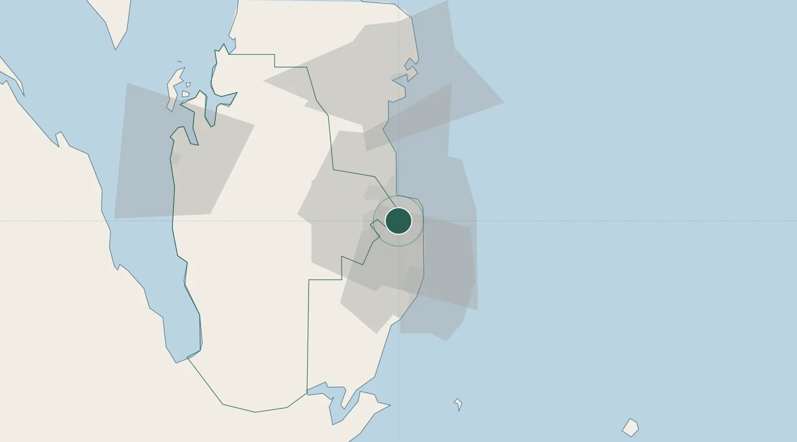
Place type
National capital
Region
Baladīyat ad Dawḩah
Population
344,939
Time zone
Asia/Qatar
Elevation
11 m
Logistics facilities
16
Location
Nearby Logistics Neighbours
Cities
- 1BGN/PCGN1956 - HAMAD4 km
- 2Umm Sa'id (Mesaieed)29 km
- 3Qapco33 km
- 4Umm Qarn38 km
- 5Qchem40 km
Ports
- 1Umm Said33 km
- 2Ras Laffan79 km
- 3Jazirat Halul104 km
- 4Jazirat Das135 km
- 5Sitrah137 km
Airports
- 1Doha International Airport7 km
- 2Hamad International Airport11 km
- 3Al Udeid Air Base24 km
- 4Batha Airport111 km
- 5Delma Airport113 km
Trade Zones
DatabookThe Record of Consolidated Knowledge
Qatar beyond logistics?