Transport Functions
Port
Fixed Transport
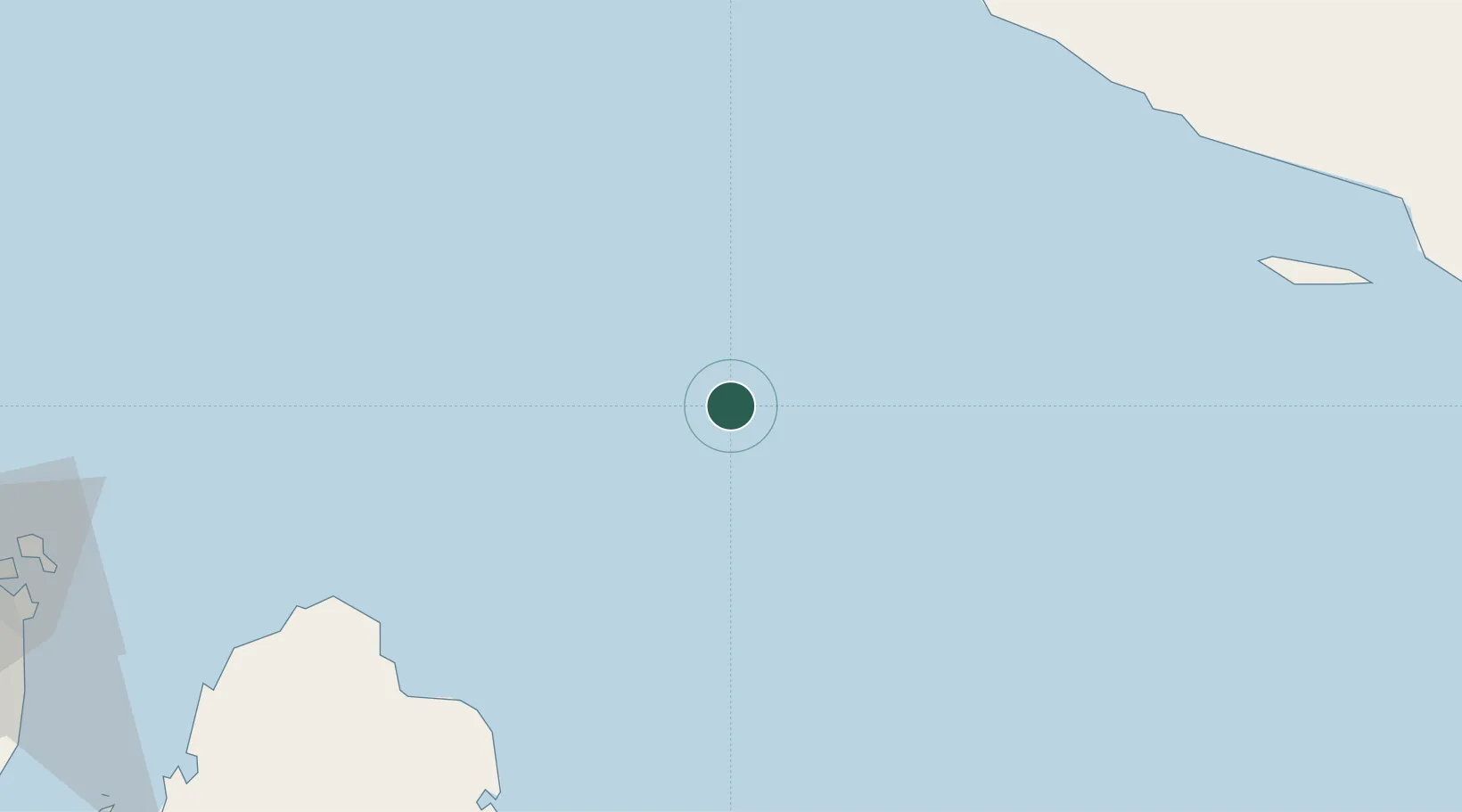
Location
Nearby Logistics Neighbours
Cities
- 1Al Ruwais Qatar81 km
- 2Ras Laffan87 km
- 3Bandare Parsian107 km
- 4Asaluyeh115 km
- 5Tombak130 km
Ports
- 1Al Rayyan Terminal53 km
- 2Ras Laffan85 km
- 3Jazirat Halul103 km
- 4Jazireh-Ye Lavan Oil Terminal129 km
- 5Khalifa Bin Salman135 km
Airports
- 1Persian Gulf International Airport114 km
- 2Lavan Airport131 km
- 3Lamerd Airport144 km
- 4Jam Airport144 km
- 5Bahrain International Airport146 km
DatabookThe Record of Consolidated Knowledge
Qatar beyond logistics?