Large airport · Qatar

Hamad International AirportOTHH
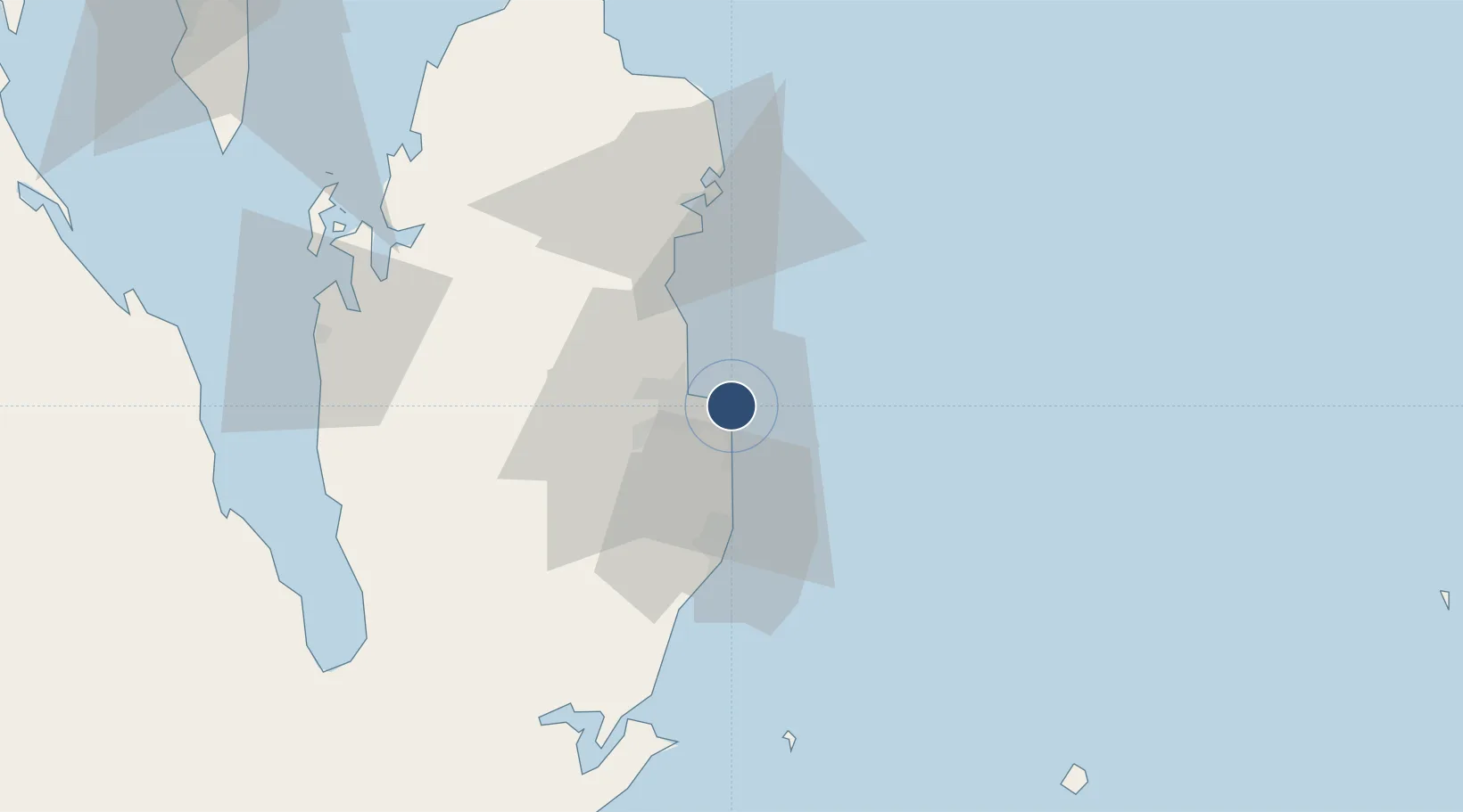
25.2731°, 51.6081°
15,912 ft
Longest runway
2
Runways
13 ft
Elevation

Runway & Layout

Hamad International Airport runway & taxiway layout
Runway & taxiway layout — OpenStreetMap (ODbL) / OurAirports

Radio Frequencies

ATIS
128.85 MHz
D-ATIS
126.85 MHz
DOHA APP RADAR
121.1 MHz
HAMAD TERM INFO
126.85 MHz
HAMAD Tower
118.525 MHz
OurAirports

Runways · 2

RunwayDimensions SurfaceTrue headingLit
16L/34R 15,912 × 197ft Asphalt 156°
16R/34L 13,944 × 197ft Asphalt 156°
OurAirports

Airport Specifications

IATA code
DOH
OurAirports
ICAO code
OTHH
OurAirports
Airport class
Large airport
OurAirports
Scheduled service
Yes
OurAirports
Runway surface
Asphalt
OurAirports
Served city
Doha
OurAirports

Location

Location of OTHH
Natural Earth 10m (public domain) · Ad Dawhah · OTHH · 25.27, 51.61GoogleOSMYandex

Nearby Logistics Neighbours

Airports
  1. 1Doha International Airport5 km
  2. 2Al Udeid Air Base34 km
  3. 3Delma Airport112 km
  4. 4Batha Airport119 km
  5. 5Sheik Isa Air Base125 km
Nearest neighbours — logibook spatial index (haversine) over the source coordinates
Cities
  1. 1Doha11 km
  2. 2BGN/PCGN1956 - HAMAD13 km
  3. 3Umm Qarn35 km
  4. 4Umm Sa'id (Mesaieed)36 km
  5. 5Qapco40 km
Nearest neighbours — logibook spatial index (haversine) over the source coordinates
Ports
  1. 1Doha8 km
  2. 2Umm Said40 km
  3. 3Ras Laffan72 km
  4. 4Jazirat Halul93 km
  5. 5Jazirat Das127 km
Nearest neighbours — logibook spatial index (haversine) over the source coordinates
Trade Zones
  1. 1Ras Bufontas - Airport Free Zone5 km
  2. 2Qatar Media City9 km
  3. 3Qatar Financial Centre10 km
  4. 4Umm Alhoul - Port Free Zone18 km
  5. 5Qatar Science and Technology Park18 km
Nearest neighbours — logibook spatial index (haversine) over the source coordinates
DatabookThe Record of Consolidated Knowledge
Qatar beyond logistics?
Browse databook

All Sources

AirportsOurAirports
Public domain
Portsthe NGA World Port Index
Public domain (US gov)
LocationsUN/LOCODE
UN/LOCODE — free
Trade Zonesthe World Bank SEZ database
CC BY 4.0
Trade ZonesOpen Zone Map
CC BY
InfrastructureOpenStreetMap
ODbL 1.0
← Qatar airports