UN/LOCODE hub · Qatar
QAHMD

BGN/PCGN1956 - HAMAD

25.1802°, 51.5363°
1
Transport functions
1
Container terminals

Transport Functions

Port
UN/LOCODE

Hub Profile

Region
WA
GeoNames
Logistics facilities
7
UN/LOCODE
Container terminals
1
UN/LOCODE

Location

Location of QAHMD
Natural Earth 10m (public domain) · WA · QAHMD · 25.18, 51.54GoogleOSMYandex

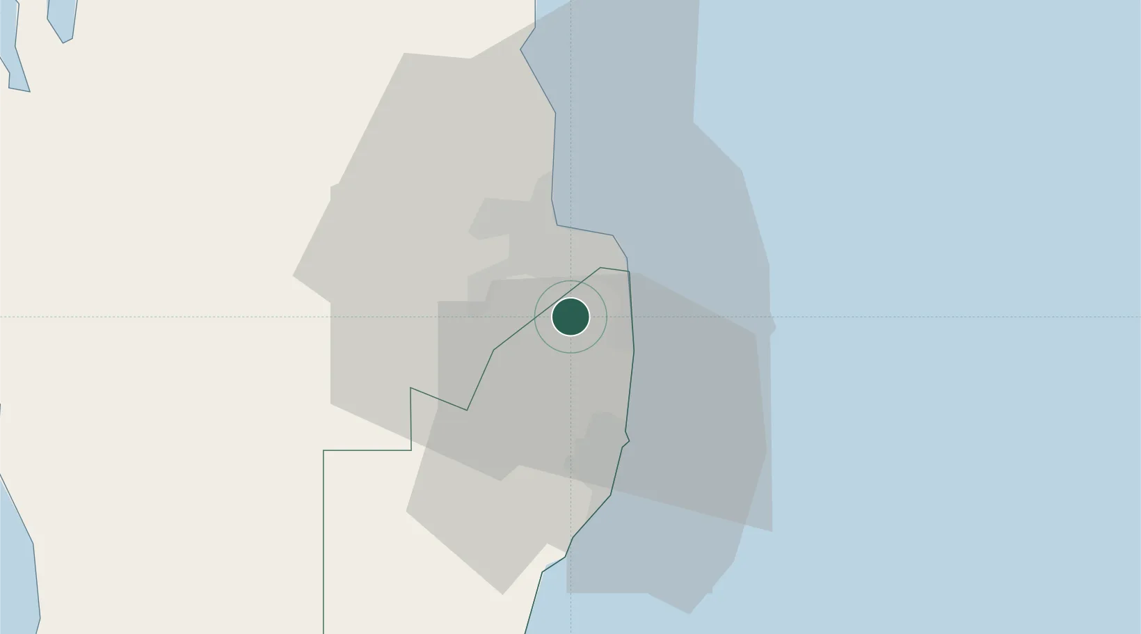
Nearby Logistics Neighbours

Cities
  1. 1Doha4 km
  2. 2Umm Sa'id (Mesaieed)25 km
  3. 3Qapco30 km
  4. 4Qchem37 km
  5. 5Umm Qarn41 km
Nearest neighbours — logibook spatial index (haversine) over the source coordinates
Ports
  1. 1Doha12 km
  2. 2Umm Said30 km
  3. 3Ras Laffan82 km
  4. 4Jazirat Halul105 km
  5. 5Jazirat Das134 km
Nearest neighbours — logibook spatial index (haversine) over the source coordinates
Airports
  1. 1Doha International Airport9 km
  2. 2Hamad International Airport13 km
  3. 3Al Udeid Air Base23 km
  4. 4Batha Airport108 km
  5. 5Delma Airport110 km
Nearest neighbours — logibook spatial index (haversine) over the source coordinates
Trade Zones
  1. 1Ras Bufontas - Airport Free Zone8 km
  2. 2Umm Alhoul - Port Free Zone10 km
  3. 3Qatar Media City12 km
  4. 4Qatar Financial Centre16 km
  5. 5Qatar Science and Technology Park19 km
Nearest neighbours — logibook spatial index (haversine) over the source coordinates
DatabookThe Record of Consolidated Knowledge
Qatar beyond logistics?
Browse databook

All Sources

LocationsUN/LOCODE
UN/LOCODE — free
Portsthe NGA World Port Index
Public domain (US gov)
AirportsOurAirports
Public domain
Trade Zonesthe World Bank SEZ database
CC BY 4.0
Trade ZonesOpen Zone Map
CC BY
← Qatar locations