Specialized Zone · Qatar

Qatar Media City Under Development
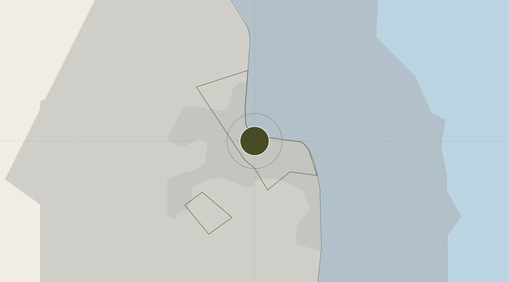
25.2855°, 51.5251°
126 ha
Zone area
0.9 km
Nearest port
5.0 km
Nearest airport

Gateway access

Nearest neighbours — logibook spatial index (haversine) over the source coordinates

Zone profile

Zone type
Specialized Zone
Open Zone Map
Specialization
IT
Open Zone Map
Region
Ad Dawhah
Open Zone Map
Status
Under Development
Open Zone Map
Management
Public
Open Zone Map
Operator
Qatar Media City
Open Zone Map
Legal framework
Original Law: Law 13/2000, Law No. 13 of 2019 on the Establishment of Media City. Foreign Investment Law (pending): Law 1/2019
Open Zone Map

Location

Location of ozm-3983
Natural Earth 10m (public domain) · Ad Dawhah · ozm-3983 · 25.29, 51.53GoogleOSMYandex

Nearby Logistics Neighbours

Ports
  1. 1Doha1 km
  2. 2Umm Said41 km
  3. 3Ras Laffan70 km
  4. 4Jazirat Halul100 km
  5. 5Sitrah130 km
Nearest neighbours — logibook spatial index (haversine) over the source coordinates
Airports
  1. 1Doha International Airport5 km
  2. 2Hamad International Airport9 km
  3. 3Al Udeid Air Base28 km
  4. 4Sheik Isa Air Base117 km
  5. 5Delma Airport119 km
Nearest neighbours — logibook spatial index (haversine) over the source coordinates
Cities
  1. 1Doha8 km
  2. 2BGN/PCGN1956 - HAMAD12 km
  3. 3Umm Qarn30 km
  4. 4Umm Sa'id (Mesaieed)37 km
  5. 5Qapco41 km
Nearest neighbours — logibook spatial index (haversine) over the source coordinates
Trade Zones
  1. 1Qatar Financial Centre5 km
  2. 2Ras Bufontas - Airport Free Zone9 km
  3. 3Qatar Science and Technology Park10 km
  4. 4Umm Alhoul - Port Free Zone20 km
  5. 5Sheikh Khalifa Bin Salman Port (KBSP)129 km
Nearest neighbours — logibook spatial index (haversine) over the source coordinates
DatabookThe Record of Consolidated Knowledge
Qatar beyond logistics?
Browse databook

All Sources

Trade ZonesOpen Zone Map
CC BY
Portsthe NGA World Port Index
Public domain (US gov)
AirportsOurAirports
Public domain
LocationsUN/LOCODE
UN/LOCODE — free
← Qatar trade zones