Large airport · Qatar

Doha International AirportOTBD
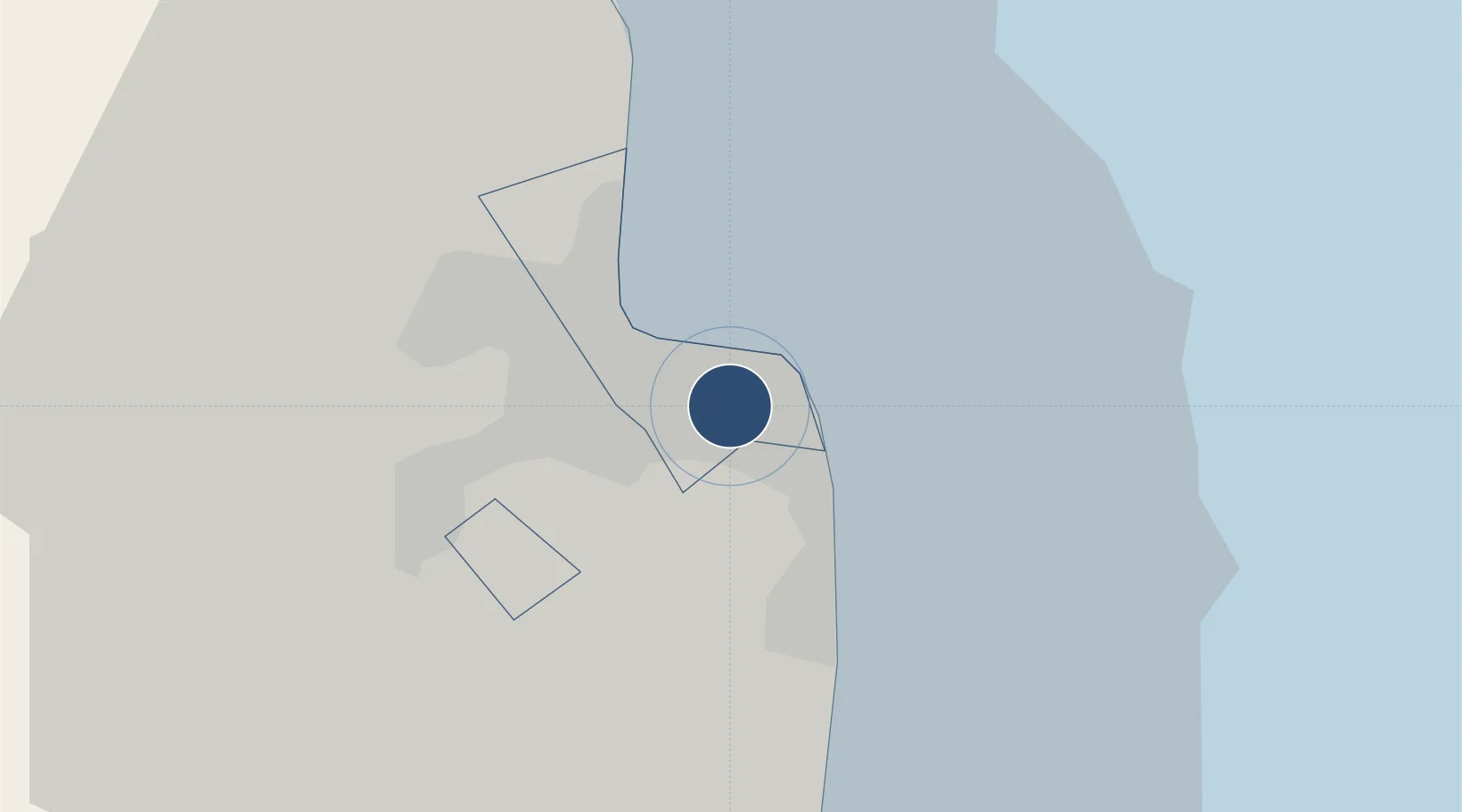
25.2594°, 51.5655°
15,000 ft
Longest runway
1
Runways
35 ft
Elevation

Runway & Layout

Doha International Airport runway & taxiway layout
Runway & taxiway layout — OpenStreetMap (ODbL) / OurAirports

Radio Frequencies

ATIS
126.45 MHz
TWR
118.9 MHz
GND
118.275 MHz
APP
121.1 MHz
OPS
139.5 MHz
KINGFISH NOVEMBER
OurAirports

Navaids

DOH VOR-DME Doha 112.40 MHz
WK NDB Wk 323 kHz
OurAirports

Runways · 1

RunwayDimensions SurfaceTrue headingLit
15/33 15,000 × 151ft Asphalt 158°
OurAirports

Airport Specifications

IATA code
DIA
OurAirports
ICAO code
OTBD
OurAirports
Airport class
Large airport
OurAirports
Scheduled service
Yes
OurAirports
Runway surface
Asphalt
OurAirports
Served city
Doha
OurAirports

Location

Location of OTBD
Natural Earth 10m (public domain) · Ad Dawhah · OTBD · 25.26, 51.57GoogleOSMYandex

Nearby Logistics Neighbours

Airports
  1. 1Hamad International Airport5 km
  2. 2Al Udeid Air Base30 km
  3. 3Delma Airport114 km
  4. 4Batha Airport117 km
  5. 5Sheik Isa Air Base122 km
Nearest neighbours — logibook spatial index (haversine) over the source coordinates
Cities
  1. 1Doha7 km
  2. 2BGN/PCGN1956 - HAMAD9 km
  3. 3Umm Sa'id (Mesaieed)34 km
  4. 4Umm Qarn34 km
  5. 5Qapco38 km
Nearest neighbours — logibook spatial index (haversine) over the source coordinates
Ports
  1. 1Doha4 km
  2. 2Umm Said38 km
  3. 3Ras Laffan73 km
  4. 4Jazirat Halul98 km
  5. 5Jazirat Das132 km
Nearest neighbours — logibook spatial index (haversine) over the source coordinates
Trade Zones
  1. 1Ras Bufontas - Airport Free Zone5 km
  2. 2Qatar Media City5 km
  3. 3Qatar Financial Centre9 km
  4. 4Qatar Science and Technology Park15 km
  5. 5Umm Alhoul - Port Free Zone16 km
Nearest neighbours — logibook spatial index (haversine) over the source coordinates
DatabookThe Record of Consolidated Knowledge
Qatar beyond logistics?
Browse databook

All Sources

AirportsOurAirports
Public domain
Portsthe NGA World Port Index
Public domain (US gov)
LocationsUN/LOCODE
UN/LOCODE — free
Trade Zonesthe World Bank SEZ database
CC BY 4.0
Trade ZonesOpen Zone Map
CC BY
InfrastructureOpenStreetMap
ODbL 1.0
← Qatar airports