Channel & Berth Profile
Pilotage, Tugs & Services
Pilotage compulsoryYES
Pilotage availableYES
Tug assistanceYES
MedicalYES
Facilities & Capabilities
Container—
Ro-Ro—
Liquid bulk—
Dry bulk—
Oil terminal—
Break bulk—
Dry dock—
Repairs—
Bunkering—
Rail link—
Dangerous cargo—
ISPS security—
Harbour Specifications
Harbour size
Medium
Harbour type
Coastal (Breakwater)
Shelter
Fair
Water body
Persian Gulf; Indian Ocean
Tidal range
2 m
Pilotage
Yes
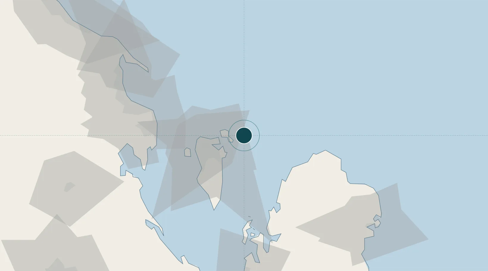
Location
Nearby Logistics Neighbours
Ports
- 1Sitrah12 km
- 2Mina Salman13 km
- 3Al Manamah17 km
- 4Dammam61 km
- 5Ras Tannurah72 km
Cities
- 1Al Hidd8 km
- 2Mina Sulman Port14 km
- 3Al Muharraq15 km
- 4Sitrah17 km
- 5Adliya17 km
Airports
- 1Bahrain International Airport11 km
- 2Sheik Isa Air Base40 km
- 3King Abdulaziz Air Base60 km
- 4Ras Tanura Airport89 km
- 5King Fahd International Airport98 km
DatabookThe Record of Consolidated Knowledge
Bahrain beyond logistics?