Medium airport · Qatar
Al Udeid Air BaseOTBH
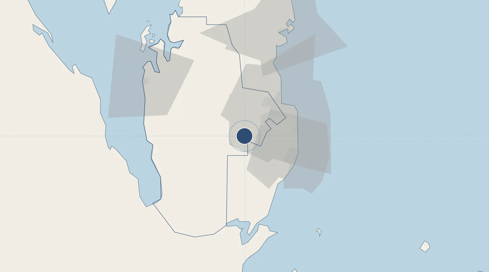
25.1173°, 51.3150°
12,303 ft
Longest runway
1
Runways
130 ft
Elevation
Runway & Layout

Radio Frequencies
ATIS
123.75 MHz
TWR
125.5 MHz
GND
135.5 MHz
A/G
28.145 MHz
SOF
ACC
121.1 MHz
DOHA APP
INFO
126.45 MHz
DOHA INFO
MISC
127.8 MHz
AMCC
PMSV
39 MHz
METRO
POST
32.212 MHz
COMD POST
PTD
29.22 MHz
Navaids
ALD VORTAC Al Udeid 115.20 MHz
Runways · 1
| Runway | Dimensions | Surface | True heading | Lit |
|---|---|---|---|---|
| 16/34 | 12,303 × 148ft | Asphalt | 158° | ✓ |
Airport Specifications
IATA code
XJD
ICAO code
OTBH
Airport class
Medium airport
Scheduled service
No
Runway surface
Asphalt
Served city
Ar Rayyan
Location
Nearby Logistics Neighbours
Airports
- 1Doha International Airport30 km
- 2Hamad International Airport34 km
- 3Batha Airport101 km
- 4Sheik Isa Air Base115 km
- 5Delma Airport123 km
Cities
- 1BGN/PCGN1956 - HAMAD23 km
- 2Doha24 km
- 3Umm Sa'id (Mesaieed)30 km
- 4Qapco34 km
- 5Qchem37 km
Ports
- 1Doha29 km
- 2Umm Said34 km
- 3Ras Laffan93 km
- 4Jazirat Halul127 km
- 5Sitrah134 km
Trade Zones
DatabookThe Record of Consolidated Knowledge
Qatar beyond logistics?