Transport Functions
Multimodal
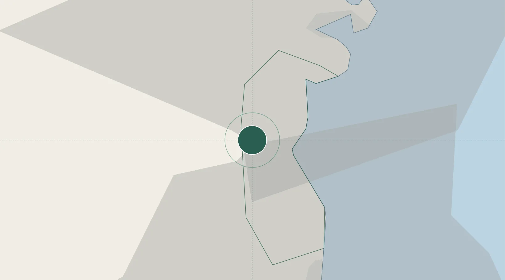
Hub Profile
Place type
Populated place
Region
Al Daayen
Time zone
Asia/Qatar
Elevation
17 m
Location
Nearby Logistics Neighbours
Cities
- 1Doha38 km
- 2BGN/PCGN1956 - HAMAD41 km
- 3Ras Laffan46 km
- 4Umm Sa'id (Mesaieed)66 km
- 5Qapco70 km
Ports
- 1Doha30 km
- 2Ras Laffan46 km
- 3Umm Said70 km
- 4Jazirat Halul102 km
- 5Sitrah103 km
Airports
- 1Doha International Airport34 km
- 2Hamad International Airport35 km
- 3Al Udeid Air Base47 km
- 4Sheik Isa Air Base93 km
- 5Bahrain International Airport113 km
Trade Zones
DatabookThe Record of Consolidated Knowledge
Qatar beyond logistics?