Medium airport · Iran
Lavan AirportOIBV
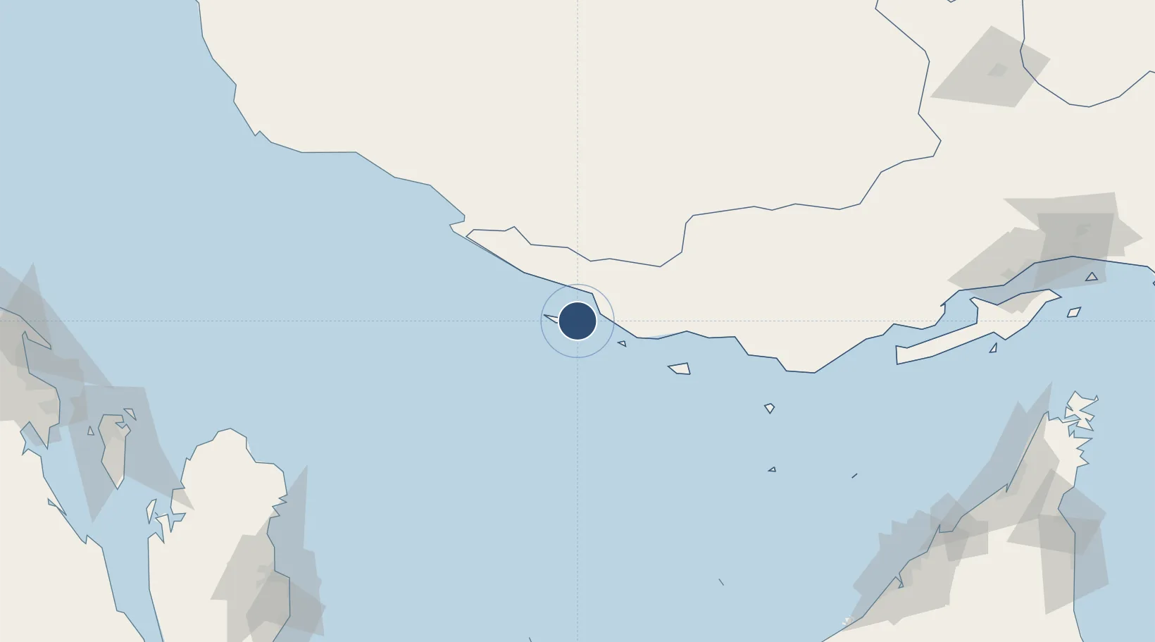
26.8107°, 53.3543°
6,815 ft
Longest runway
1
Runways
76 ft
Elevation
Runway & Layout

Radio Frequencies
AFIS
129 MHz
INFO
Navaids
LVA VOR-DME Lavan Island 116.85 MHz
LVA NDB Lavan Island 310 kHz
Runways · 1
| Runway | Dimensions | Surface | True heading | Lit |
|---|---|---|---|---|
| 11/29 | 6,815 × 148ft | Asphalt | 111° | — |
Airport Specifications
IATA code
LVP
ICAO code
OIBV
Airport class
Medium airport
Scheduled service
No
Runway surface
Asphalt
Served city
Lavan Airport
Location
Nearby Logistics Neighbours
Airports
- 1Lamerd Airport65 km
- 2Kish International Airport70 km
- 3Persian Gulf International Airport88 km
- 4Lar Airport140 km
- 5Bandar Lengeh International Airport149 km
Cities
- 1Bandare Parsian60 km
- 2Amirabad101 km
- 3Asaluyeh104 km
- 4Al Shaheen131 km
- 5Abu al Bukhoosh149 km
Ports
- 1Jazireh-Ye Lavan Oil Terminal4 km
- 2Al Shaheen Terminal137 km
- 3Jazireh-Ye Sirri156 km
- 4Jazirat Halul156 km
- 5Fateh Oil Terminal173 km
DatabookThe Record of Consolidated Knowledge
Iran beyond logistics?