Transport Functions
Port
Road
Hub Profile
Region
18
Logistics facilities
1
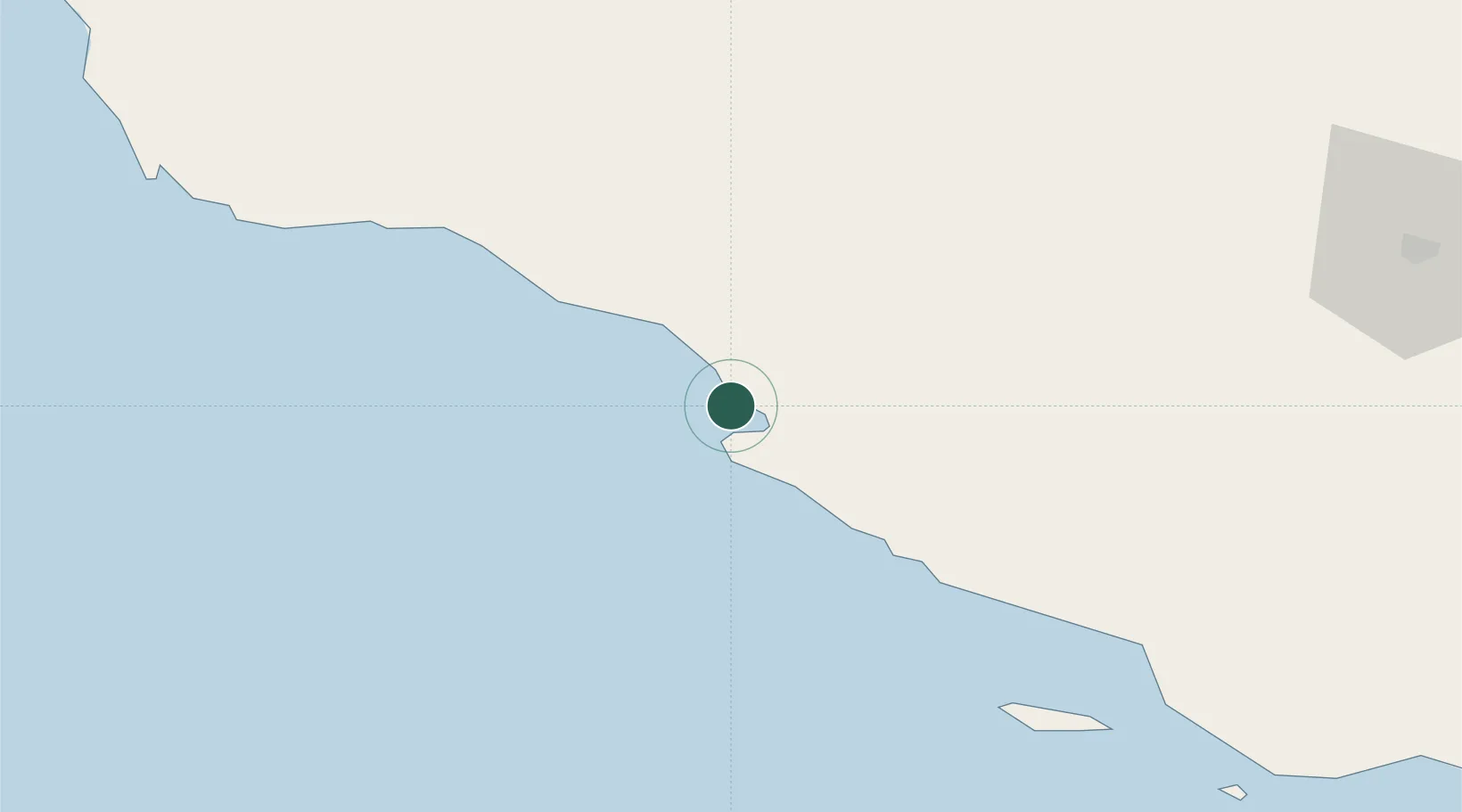
Location
Nearby Logistics Neighbours
Cities
- 1Bandare Parsian45 km
- 2Tombak51 km
- 3Sarooj Anchorage53 km
- 4Dayyer77 km
- 5Al Shaheen115 km
Ports
- 1Jazireh-Ye Lavan Oil Terminal105 km
- 2Al Shaheen Terminal115 km
- 3Al Rayyan Terminal138 km
- 4Jazirat Halul199 km
- 5Ras Laffan200 km
Airports
- 1Persian Gulf International Airport17 km
- 2Jam Airport46 km
- 3Lamerd Airport59 km
- 4Lavan Airport104 km
- 5Kish International Airport172 km
DatabookThe Record of Consolidated Knowledge
Iran beyond logistics?