Transport Functions
Port
Road
Hub Profile
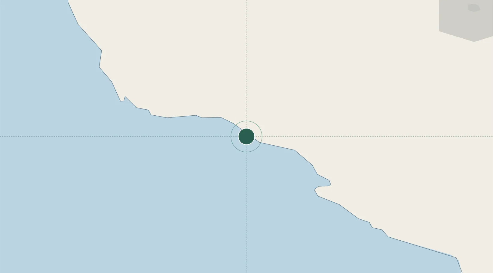
Place type
Populated place
Region
Bushehr
Time zone
Asia/Tehran
Elevation
12 m
Location
Nearby Logistics Neighbours
Cities
- 1Sarooj Anchorage3 km
- 2Dayyer26 km
- 3Asaluyeh51 km
- 4Bandare Parsian95 km
- 5Al Shaheen130 km
Ports
- 1Al Shaheen Terminal127 km
- 2Al Rayyan Terminal133 km
- 3Jazireh-Ye Lavan Oil Terminal155 km
- 4Bushehr192 km
- 5Ras Laffan208 km
Airports
- 1Jam Airport22 km
- 2Persian Gulf International Airport68 km
- 3Lamerd Airport108 km
- 4Lavan Airport155 km
- 5Bushehr Airport189 km
DatabookThe Record of Consolidated Knowledge
Iran beyond logistics?