Medium airport · Iran
Lamerd AirportOISR
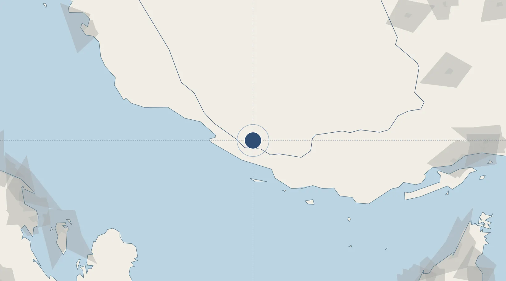
27.3727°, 53.1888°
10,020 ft
Longest runway
1
Runways
1,337 ft
Elevation
Runway & Layout

Radio Frequencies
AFIS
122.65 MHz
INFO
Navaids
LAM NDB Lamerd 346 kHz
Runways · 1
| Runway | Dimensions | Surface | True heading | Lit |
|---|---|---|---|---|
| 11/29 | 10,020 × 148ft | Asphalt | 114° | — |
Airport Specifications
IATA code
LFM
ICAO code
OISR
Airport class
Medium airport
Scheduled service
Yes
Runway surface
Asphalt
Served city
Lamerd
Location
Nearby Logistics Neighbours
Airports
- 1Persian Gulf International Airport45 km
- 2Lavan Airport65 km
- 3Jam Airport96 km
- 4Lar Airport123 km
- 5Kish International Airport123 km
Cities
- 1Bandare Parsian37 km
- 2Asaluyeh59 km
- 3Tombak108 km
- 4Sarooj Anchorage110 km
- 5Amirabad130 km
Ports
- 1Jazireh-Ye Lavan Oil Terminal67 km
- 2Al Shaheen Terminal147 km
- 3Al Rayyan Terminal181 km
- 4Jazirat Halul203 km
- 5Jazireh-Ye Sirri212 km
DatabookThe Record of Consolidated Knowledge
Iran beyond logistics?