UN/LOCODE hub · Iran
IRBPA

Bandare Parsian

27.1667°, 52.9000°
1
Transport functions

Transport Functions

Port
UN/LOCODE

Hub Profile

Region
22
GeoNames

Location

Location of IRBPA
Natural Earth 10m (public domain) · 22 · IRBPA · 27.17, 52.90GoogleOSMYandex

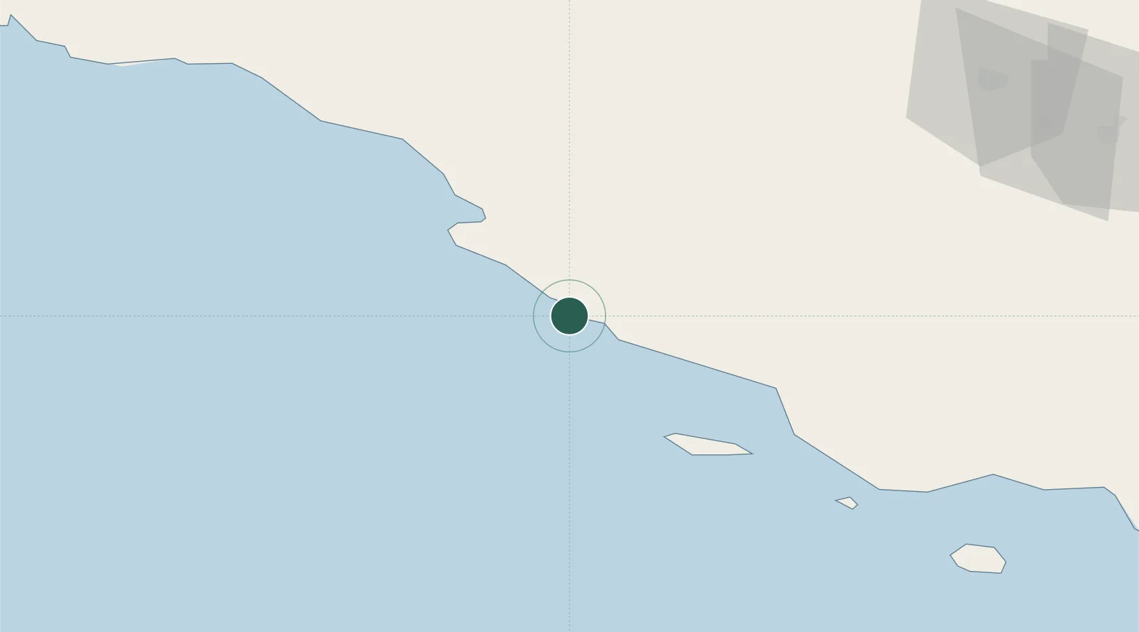
Nearby Logistics Neighbours

Cities
  1. 1Asaluyeh45 km
  2. 2Tombak95 km
  3. 3Sarooj Anchorage97 km
  4. 4Al Shaheen107 km
  5. 5Dayyer121 km
Nearest neighbours — logibook spatial index (haversine) over the source coordinates
Ports
  1. 1Jazireh-Ye Lavan Oil Terminal61 km
  2. 2Al Shaheen Terminal110 km
  3. 3Al Rayyan Terminal146 km
  4. 4Jazirat Halul172 km
  5. 5Ras Laffan191 km
Nearest neighbours — logibook spatial index (haversine) over the source coordinates
Airports
  1. 1Persian Gulf International Airport29 km
  2. 2Lamerd Airport37 km
  3. 3Lavan Airport60 km
  4. 4Jam Airport91 km
  5. 5Kish International Airport129 km
Nearest neighbours — logibook spatial index (haversine) over the source coordinates
DatabookThe Record of Consolidated Knowledge
Iran beyond logistics?
Browse databook

All Sources

LocationsUN/LOCODE
UN/LOCODE — free
Portsthe NGA World Port Index
Public domain (US gov)
AirportsOurAirports
Public domain
Trade Zonesthe World Bank SEZ database
CC BY 4.0
Trade ZonesOpen Zone Map
CC BY
← Iran locations