Medium airport · Iran
Persian Gulf International AirportOIBP
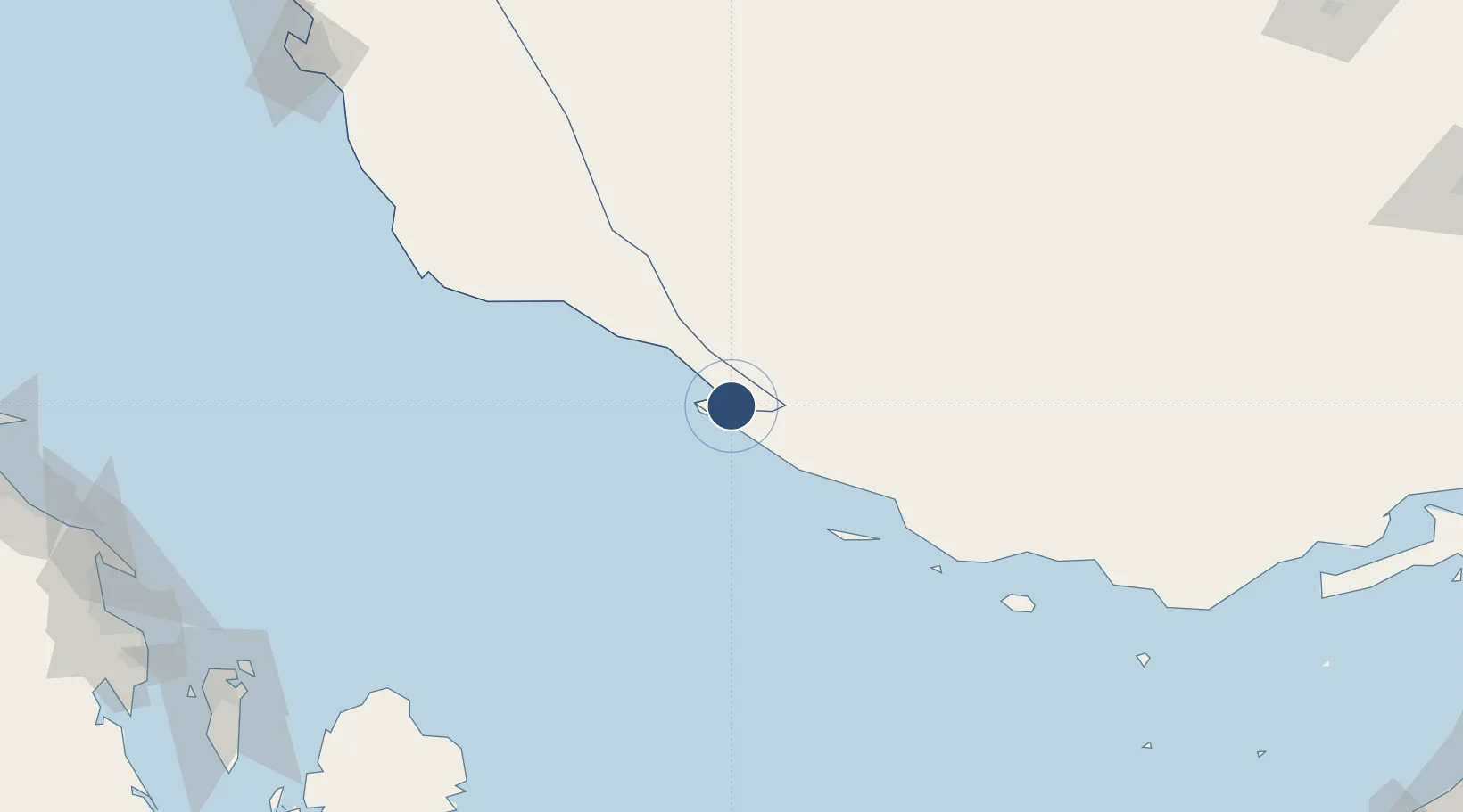
27.3796°, 52.7377°
13,115 ft
Longest runway
1
Runways
27 ft
Elevation
Runway & Layout

Radio Frequencies
AFIS
118.125 MHz
INFO
Navaids
PRG NDB Persian Gulf 457 kHz
Runways · 1
| Runway | Dimensions | Surface | True heading | Lit |
|---|---|---|---|---|
| 13/31 | 13,115 × 148ft | Asphalt | 129° | — |
Airport Specifications
IATA code
PGU
ICAO code
OIBP
Airport class
Medium airport
Scheduled service
Yes
Runway surface
Asphalt
Served city
Khiyaroo
Location
Nearby Logistics Neighbours
Airports
- 1Lamerd Airport45 km
- 2Jam Airport62 km
- 3Lavan Airport88 km
- 4Kish International Airport156 km
- 5Lar Airport166 km
Cities
- 1Asaluyeh17 km
- 2Bandare Parsian29 km
- 3Tombak68 km
- 4Sarooj Anchorage70 km
- 5Dayyer94 km
Ports
- 1Jazireh-Ye Lavan Oil Terminal89 km
- 2Al Shaheen Terminal115 km
- 3Al Rayyan Terminal143 km
- 4Jazirat Halul191 km
- 5Ras Laffan199 km
DatabookThe Record of Consolidated Knowledge
Iran beyond logistics?