Diversified Zone · Iran
Lavan Special Economic Zone Active
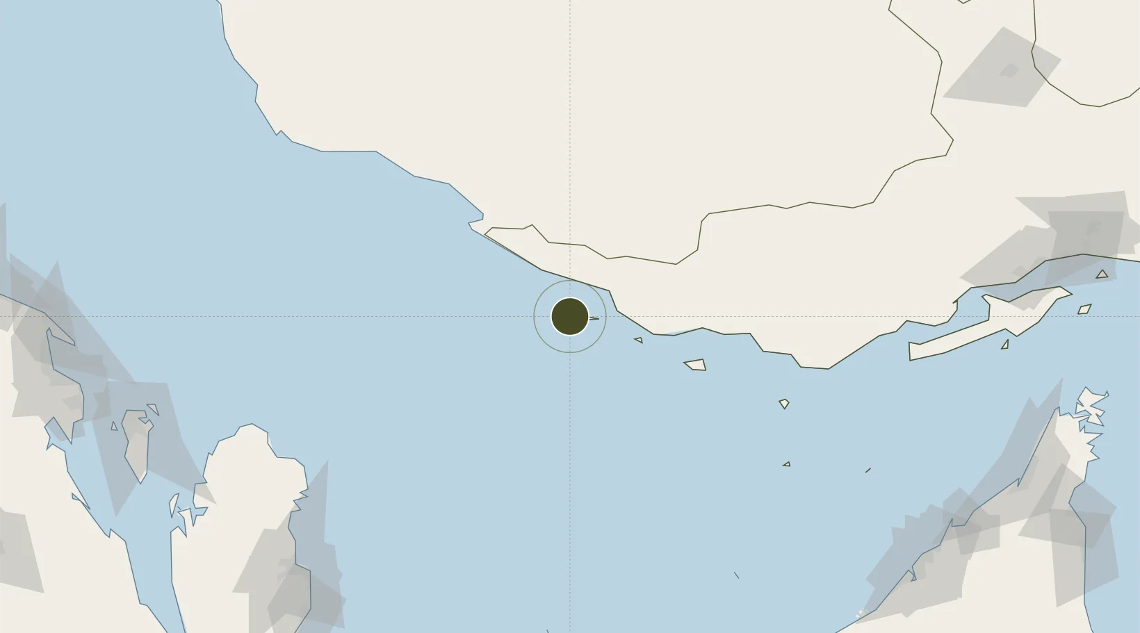
26.8185°, 53.2028°
8,500 ha
Zone area
13.5 km
Nearest port
15.1 km
Nearest airport
Gateway access
Zone profile
Zone type
Diversified Zone
Region
Hormozgan
Status
Active
Management
Public
Operator
National Iranian Oil Company
Legal framework
Law of Establishment and Administration of Special Economic Zones of Islamic Republic of Iran
Location
Nearby Logistics Neighbours
Ports
- 1Jazireh-Ye Lavan Oil Terminal14 km
- 2Al Shaheen Terminal122 km
- 3Jazirat Halul149 km
- 4Al Rayyan Terminal165 km
- 5Jazireh-Ye Sirri169 km
Airports
- 1Lavan Airport15 km
- 2Lamerd Airport62 km
- 3Persian Gulf International Airport78 km
- 4Kish International Airport84 km
- 5Jam Airport140 km
Cities
- 1Bandare Parsian49 km
- 2Asaluyeh94 km
- 3Amirabad116 km
- 4Al Shaheen117 km
- 5Tombak143 km
DatabookThe Record of Consolidated Knowledge
Iran beyond logistics?