UN/LOCODE hub · Portugal
PTRMZ
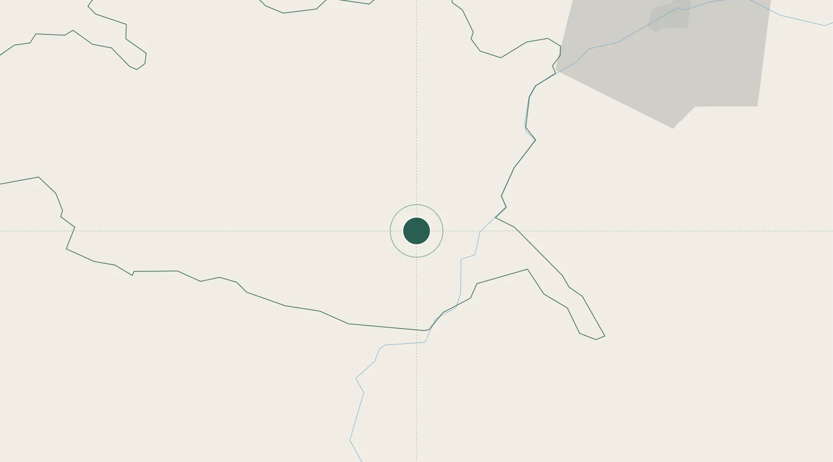
Reguengos de Monsaraz
38.4167°, -7.5333°
7,217
Population
2
Transport functions
Transport Functions
Rail
Road
Hub Profile
Place type
Provincial seat
Region
Évora
Population
7,217
Time zone
Europe/Lisbon
Elevation
218 m
Location
Nearby Logistics Neighbours
Cities
- 1Vendinha11 km
- 2Freixeira29 km
- 3Moura32 km
- 4Vila de Frades33 km
- 5Pedrógão35 km
Ports
- 1Setubal120 km
- 2Sines128 km
- 3Vila Real De S Antonio138 km
- 4Huelva140 km
- 5Lisboa146 km
Airports
- 1Évora Airfield34 km
- 2Estremoz Municipal Heliport46 km
- 3Beja Airport / Airbase51 km
- 4Badajoz Airport81 km
- 5Aeródromo Municipal de Ponte de Sor99 km
Trade Zones
- 1Puerto de Huelva138 km
- 2Zona Franca de Sevilla181 km
- 3Zona Franca de Cádiz241 km
- 4VGP Park Santa Maria da Feira293 km
- 5Depósito Franco de Málaga306 km
DatabookThe Record of Consolidated Knowledge
Portugal beyond logistics?