Seaport · Portugal
SetubalPTSET
38.5167°, -8.9000°
11.0 m
Channel depth
2
Container terminals
68.4
Port liner connectivity
Channel & Berth Profile
Pilotage, Tugs & Services
Pilotage compulsoryYES
Pilotage availableYES
Pilotage advisableYES
Tug assistanceYES
Shore powerYES
Potable waterYES
Diesel bunkersYES
MedicalYES
Garbage disposalNO
Facilities & Capabilities
Container—
Ro-Ro—
Liquid bulk—
Dry bulk—
Oil terminal—
Break bulk—
Dry dockNO
RepairsNO
BunkeringYES
Rail linkYES
Dangerous cargo—
ISPS security—
Harbour Specifications
Harbour size
Small
Harbour type
River (Natural)
Shelter
Excellent
Water body
North Atlantic Ocean
Tidal range
4 m
Pilotage
Yes
Liner Connectivity
68.4
PLSCI
Port Liner Shipping Connectivity Index for Setubal, as published by UNCTAD for the latest available quarter. Higher values indicate stronger scheduled liner-shipping integration.
Shown relative to the highest per-port PLSCI in the dataset (1,657.9).
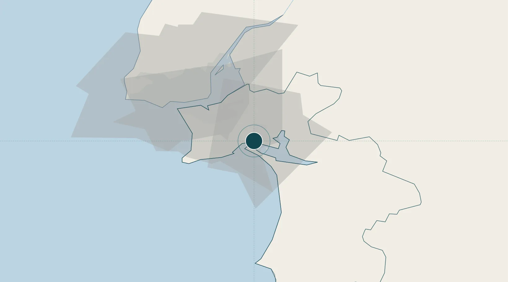
Location
Container Terminals · 2
MULTI PURPOSE TERMINAL 1 - TERSADO
APSS ADMINISTRACAO DOS PORTOS DE SETUBAL E SESIMBRA
MULTI PURPOSE TERMINAL 2 - SADOPORT
SADOP SADOPORT - TERMINAL MARITIMO DO SADO S.A.
Nearby Logistics Neighbours
Ports
- 1Lisboa31 km
- 2Sines63 km
- 3Lagos160 km
- 4Figueira Da Foz182 km
- 5Faro186 km
Cities
- 1Palmela6 km
- 2Quinta do Anjo6 km
- 3Vila Nogueira de Azeitao10 km
- 4Pinhal Novo13 km
- 5Coina16 km
Airports
- 1Montijo Air Base24 km
- 2Lisbon Humberto Delgado Airport36 km
- 3Alverca Air Base42 km
- 4Cascais Airport46 km
- 5Sintra Air Base52 km
Trade Zones
- 1Puerto de Huelva220 km
- 2VGP Park Santa Maria da Feira270 km
- 3Zona Franca de Sevilla286 km
- 4Zona Livre Tecnológica Masotinhos296 km
- 5Zona Franca de Cádiz323 km
DatabookThe Record of Consolidated Knowledge
Portugal beyond logistics?