Transport Functions
Multimodal
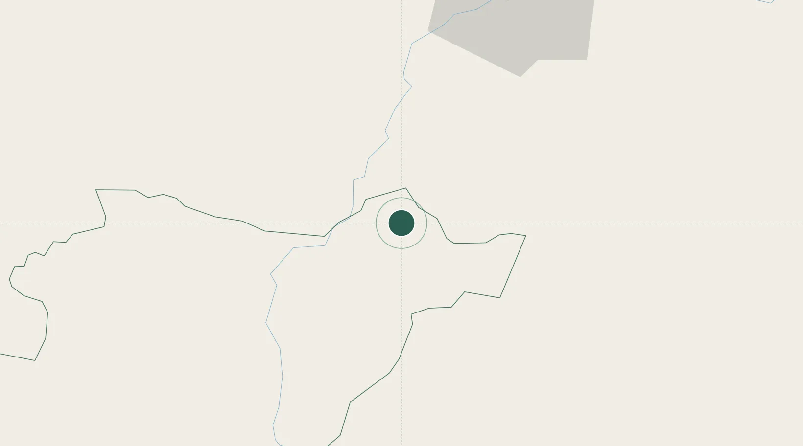
Hub Profile
Place type
Populated place
Region
Beja
Time zone
Europe/Lisbon
Elevation
182 m
Location
Nearby Logistics Neighbours
Cities
- 1Moura17 km
- 2Reguengos de Monsaraz29 km
- 3Pedrógão33 km
- 4Vendinha39 km
- 5Vila de Frades45 km
Ports
- 1Huelva114 km
- 2Vila Real De S Antonio117 km
- 3Sines141 km
- 4Setubal143 km
- 5Faro145 km
Airports
- 1Beja Airport / Airbase58 km
- 2Évora Airfield61 km
- 3Estremoz Municipal Heliport71 km
- 4Badajoz Airport84 km
- 5Madroñalejos Forest Fire fighting Heliport117 km
Trade Zones
- 1Puerto de Huelva112 km
- 2Zona Franca de Sevilla152 km
- 3Zona Franca de Cádiz213 km
- 4Depósito Franco de Málaga278 km
- 5Depósito Franco de Algeciras287 km
DatabookThe Record of Consolidated Knowledge
Portugal beyond logistics?