Seaport · Portugal

Vila Real De S AntonioPTVNC

37.1833°, -7.4000°
3.4 m
Channel depth
10.2
Port liner connectivity
Vila Real De S Antonio is also a UN/LOCODE logistics hub →

Channel & Berth Profile

SEA LEVEL (CD)CHANNEL BEDChannel · 3.4 mCargo pier · 4.9 mAnchorage · 9.4 m
NGA World Port Index

Pilotage, Tugs & Services

Pilotage compulsoryYES
Pilotage availableYES
Pilotage advisableYES
Tug assistanceYES
Shore powerYES
Potable waterYES
MedicalYES
Garbage disposalYES
NGA World Port Index

Facilities & Capabilities

Container
Ro-Ro
Liquid bulk
Dry bulk
Oil terminal
Break bulk
Dry dock
RepairsNO
Bunkering
Rail link
Dangerous cargo
ISPS security
NGA World Port Index

Harbour Specifications

Harbour size
Very Small
NGA World Port Index
Harbour type
River (Natural)
NGA World Port Index
Shelter
Good
NGA World Port Index
Water body
North Atlantic Ocean
NGA World Port Index
Tidal range
2 m
NGA World Port Index
Pilotage
Yes
NGA World Port Index

Liner Connectivity

10.2
PLSCI

Port Liner Shipping Connectivity Index for Vila Real De S Antonio, as published by UNCTAD for the latest available quarter. Higher values indicate stronger scheduled liner-shipping integration.

Shown relative to the highest per-port PLSCI in the dataset (1,657.9).
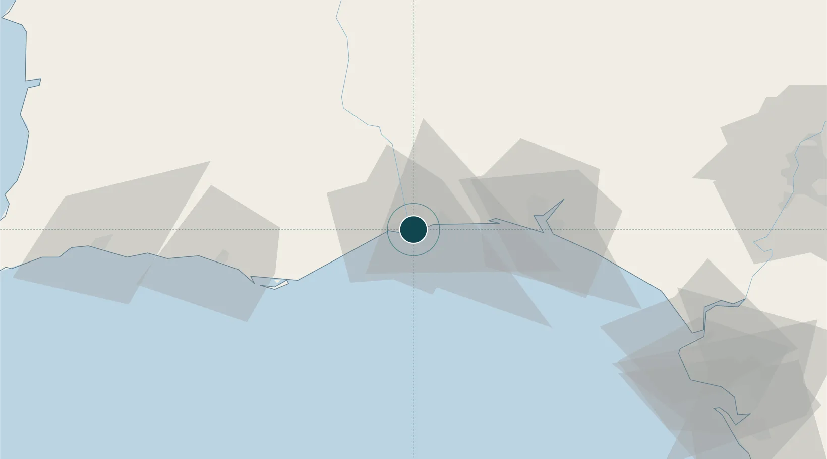
UNCTAD · Port Liner Shipping Connectivity Index

Location

Location of PTVNC
Natural Earth 10m (public domain) · Huelva · PTVNC · 37.18, -7.40GoogleOSMYandex

Nearby Logistics Neighbours

Ports
  1. 1Huelva41 km
  2. 2Faro50 km
  3. 3Lagos108 km
  4. 4Rota114 km
  5. 5Cadiz122 km
Nearest neighbours — logibook spatial index (haversine) over the source coordinates
Cities
  1. 1Vila Real de Santo António2 km
  2. 2Castro Marim5 km
  3. 3Isla Cristina6 km
  4. 4Tavira23 km
  5. 5La Barca Florida24 km
Nearest neighbours — logibook spatial index (haversine) over the source coordinates
Airports
  1. 1Faro - Gago Coutinho International Airport54 km
  2. 2Portimão Airport105 km
  3. 3Madroñalejos Forest Fire fighting Heliport105 km
  4. 4Beja Airport / Airbase110 km
  5. 5Rota Naval Station Airport111 km
Nearest neighbours — logibook spatial index (haversine) over the source coordinates
Trade Zones
  1. 1Puerto de Huelva40 km
  2. 2Zona Franca de Sevilla125 km
  3. 3Zona Franca de Cádiz126 km
  4. 4Tanger Free Export Zone211 km
  5. 5Depósito Franco de Algeciras211 km
Nearest neighbours — logibook spatial index (haversine) over the source coordinates
DatabookThe Record of Consolidated Knowledge
Portugal beyond logistics?
Browse databook

All Sources

Portsthe NGA World Port Index
Public domain (US gov)
Logistics performanceUNCTAD
CC BY 3.0 IGO
AirportsOurAirports
Public domain
LocationsUN/LOCODE
UN/LOCODE — free
Trade Zonesthe World Bank SEZ database
CC BY 4.0
Trade ZonesOpen Zone Map
CC BY
← Portugal ports